Overview
What Terrain Viewer is and how the sidebar is organized
Terrain Viewer is a browser-based terrain and historical-imagery visualization tool built on MapLibre GL via react-map-gl. Every setting lives in the URL query string, so any view is shareable as a plain link.
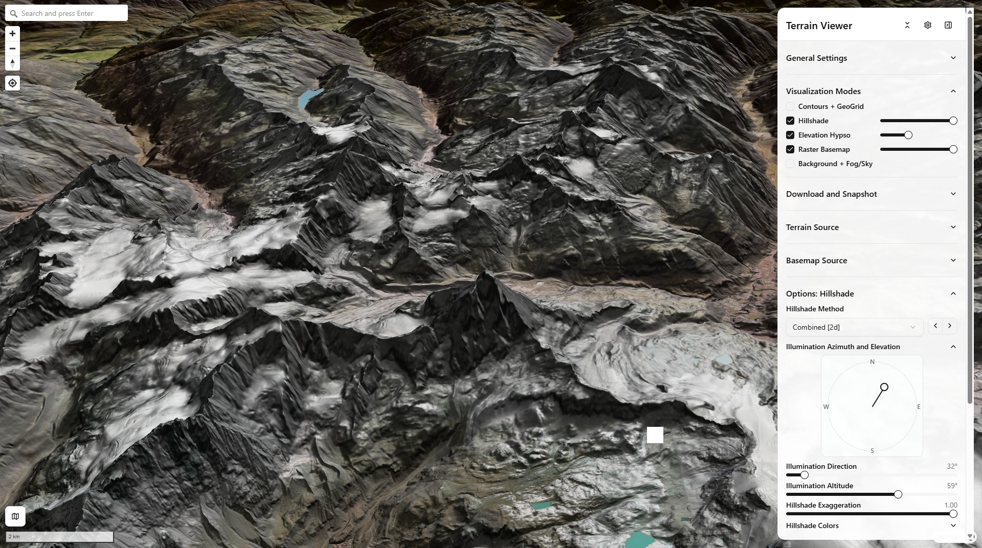
Hillshade + Elevation Hypso + Raster Basemap — Matterhorn (Mont Cervin), Alps
Elevation Terrain Visualizer is a browser-based terrain visualization/export tool built on MapLibre GL (React + TypeScript + Vite, pnpm).
Two main modes:
- Terrain mode — pick a source (Mapterhorn, Mapbox, MapTiler, AWS Mapzen, or your own COG/GeoTIFF), render with many relief techniques (hillshade, hypsometric tint, contours, slope/aspect/curvature, TRI/TPI/roughness, sky-view-factor/openness, LRM, an experimental mound detector called "Tells"), in 2D/3D/Globe, exportable as GeoTIFF/screenshots/QGIS templates.
- Historical Imagery mode — scrub a per-tile capture-date timeline across providers (ESRI Wayback, Google Earth Historical, Landsat/Sentinel HLS, Planet, Bing), with N-way grid/split compare and CSS-blend-mode overlay.
The two headline features
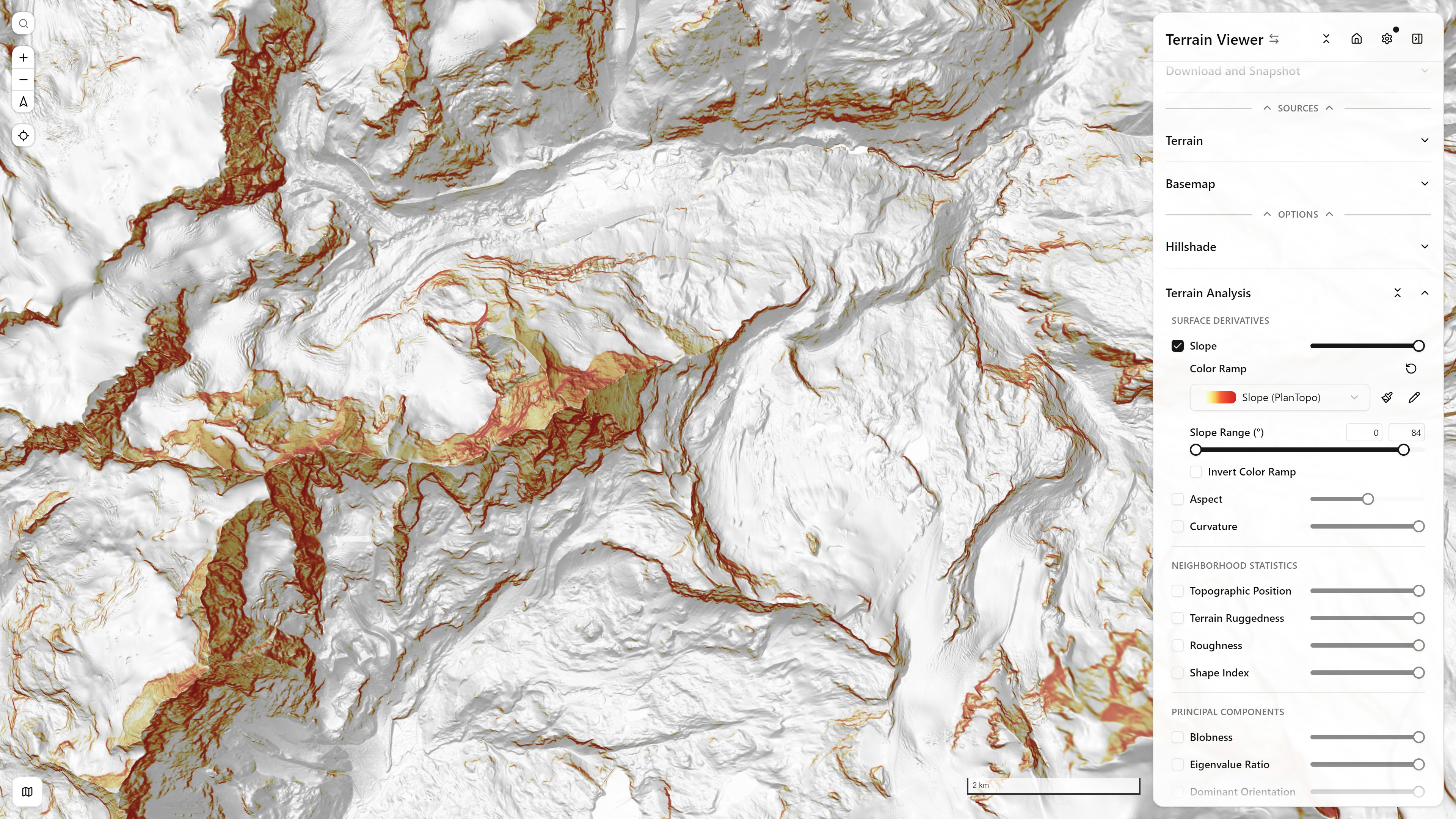
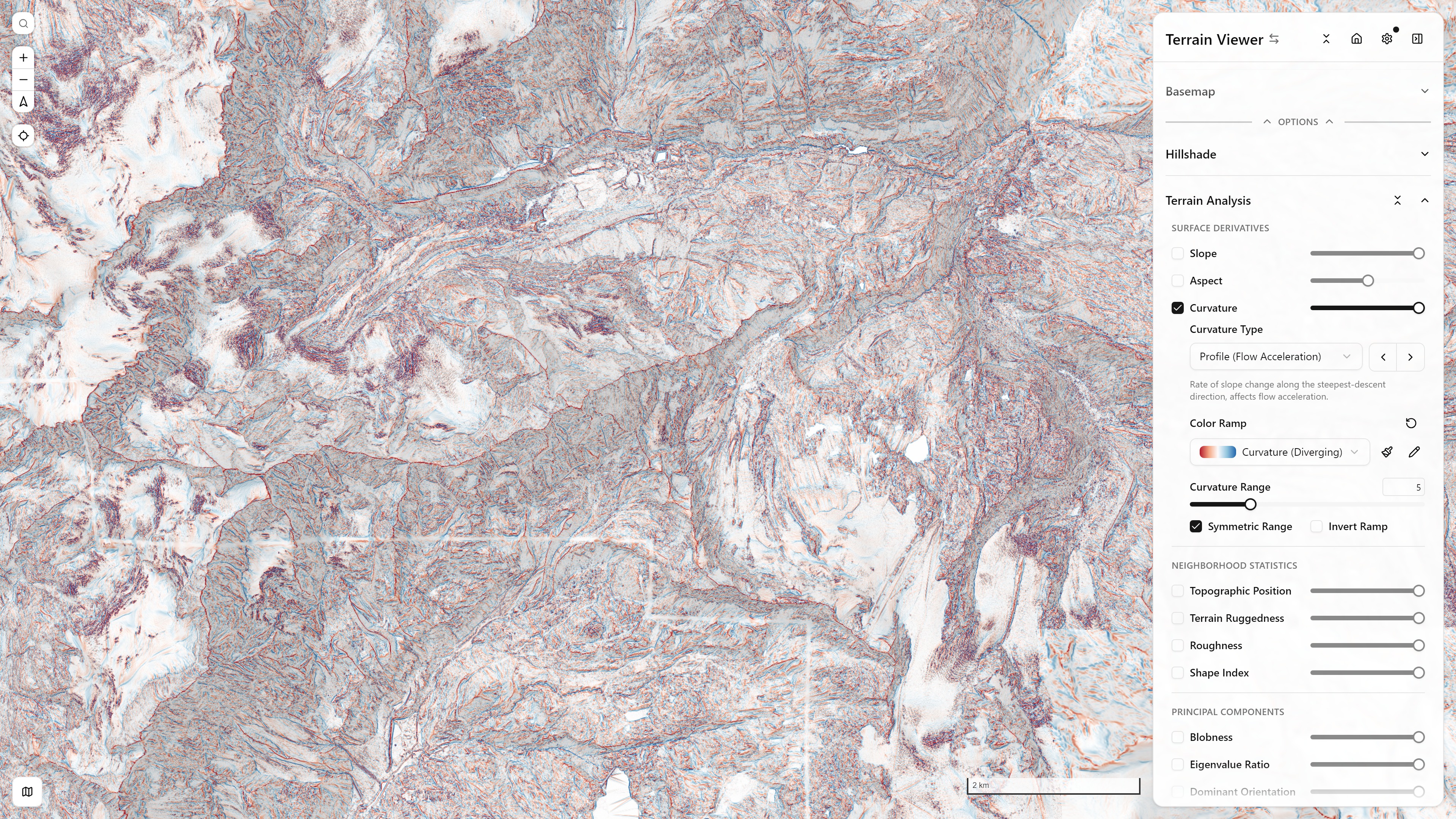
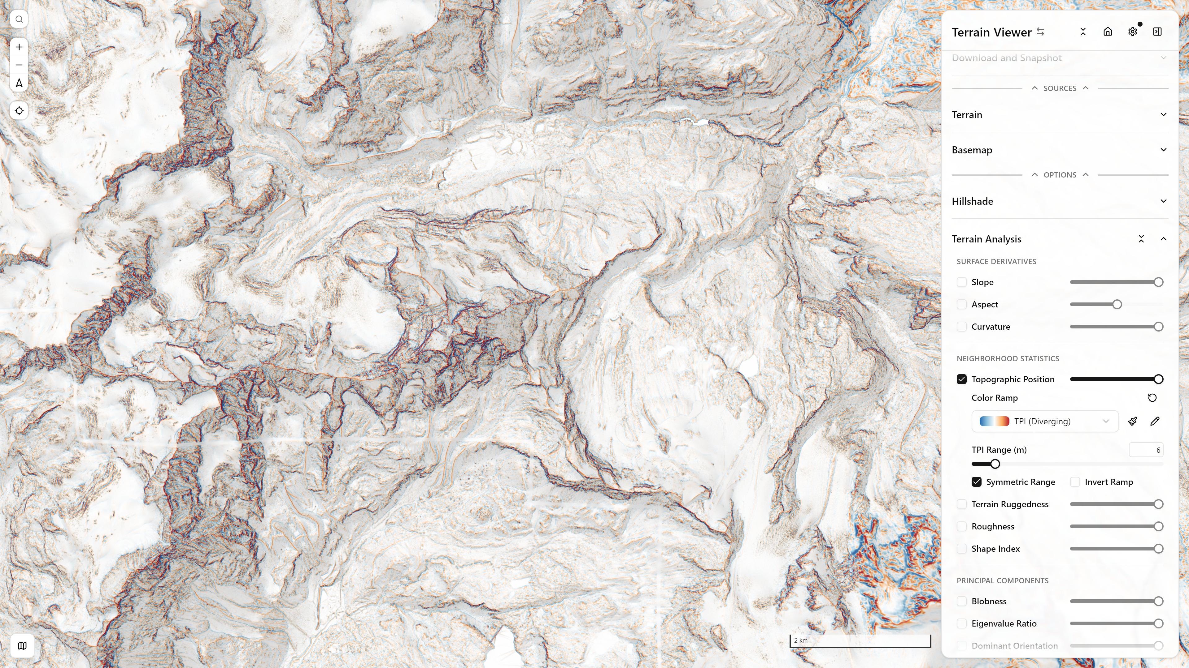
Terrain Visualization Modes — every relief technique the app has, stackable and independently tunable. See Terrain Visualization Modes for the complete guide (equations, dev-page deep dives, per-mode controls):
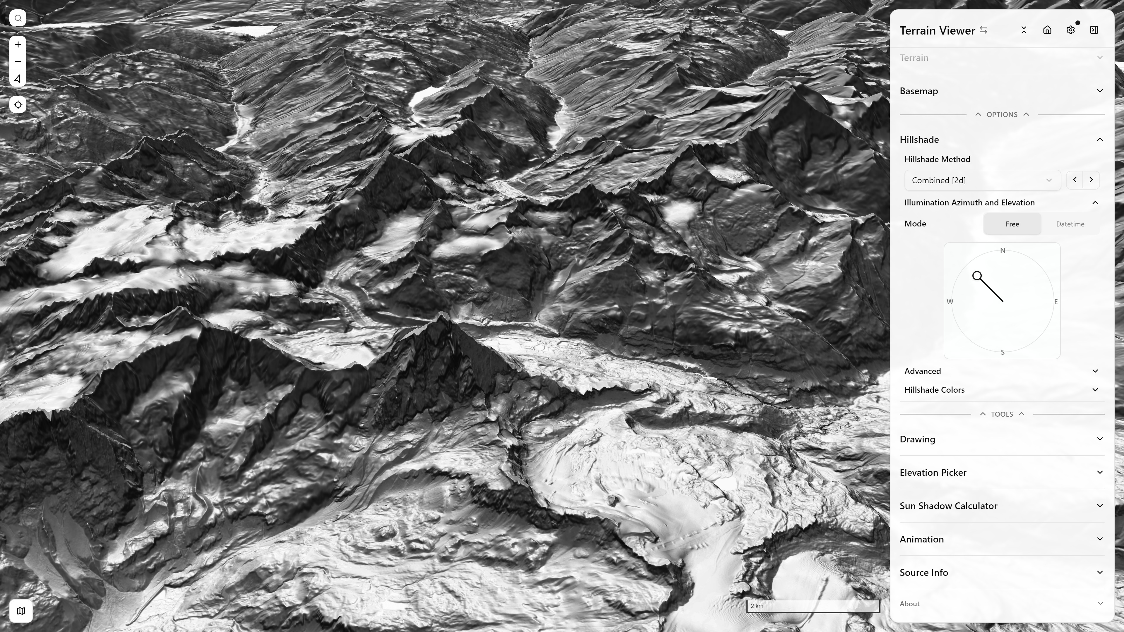
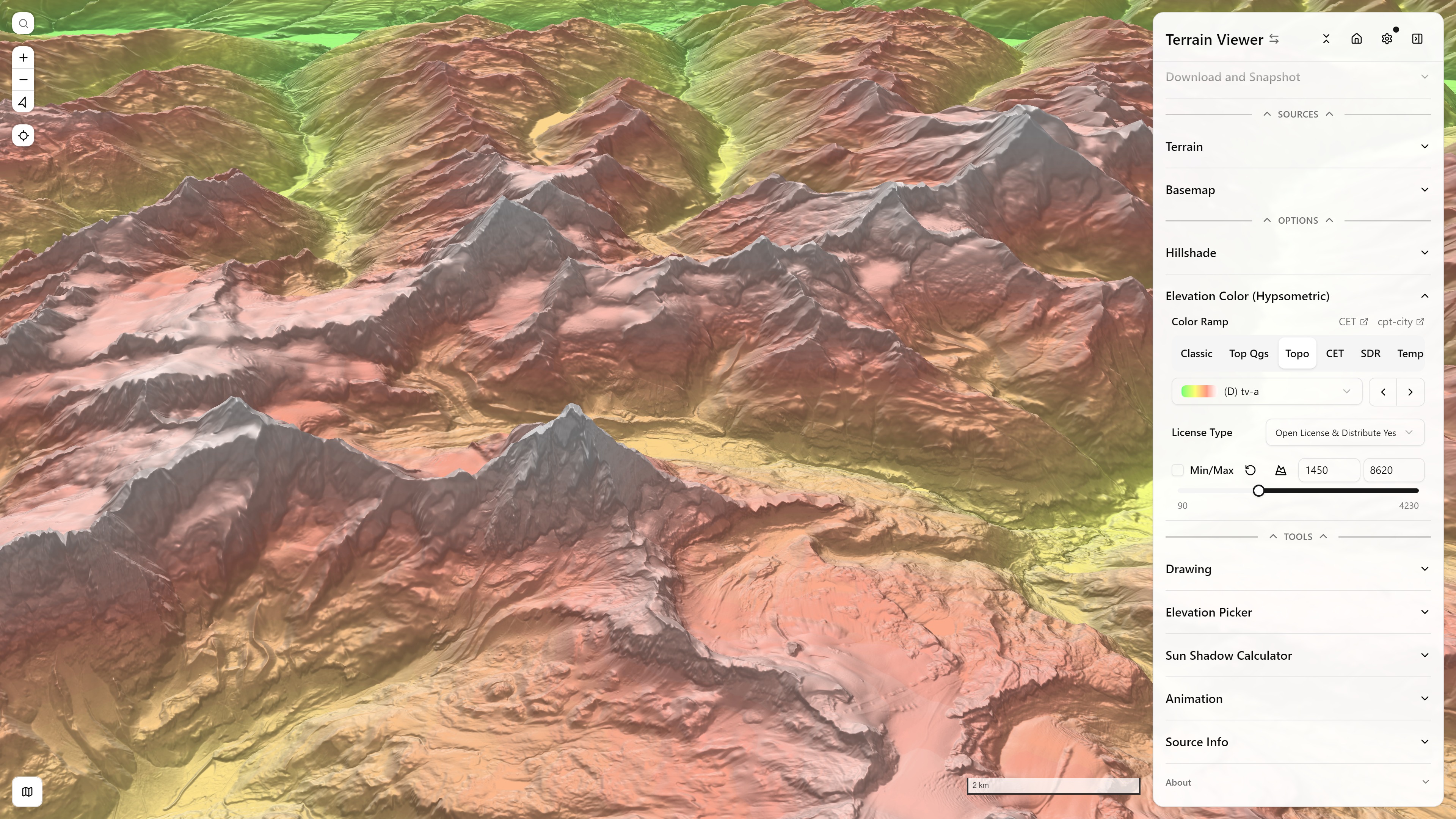
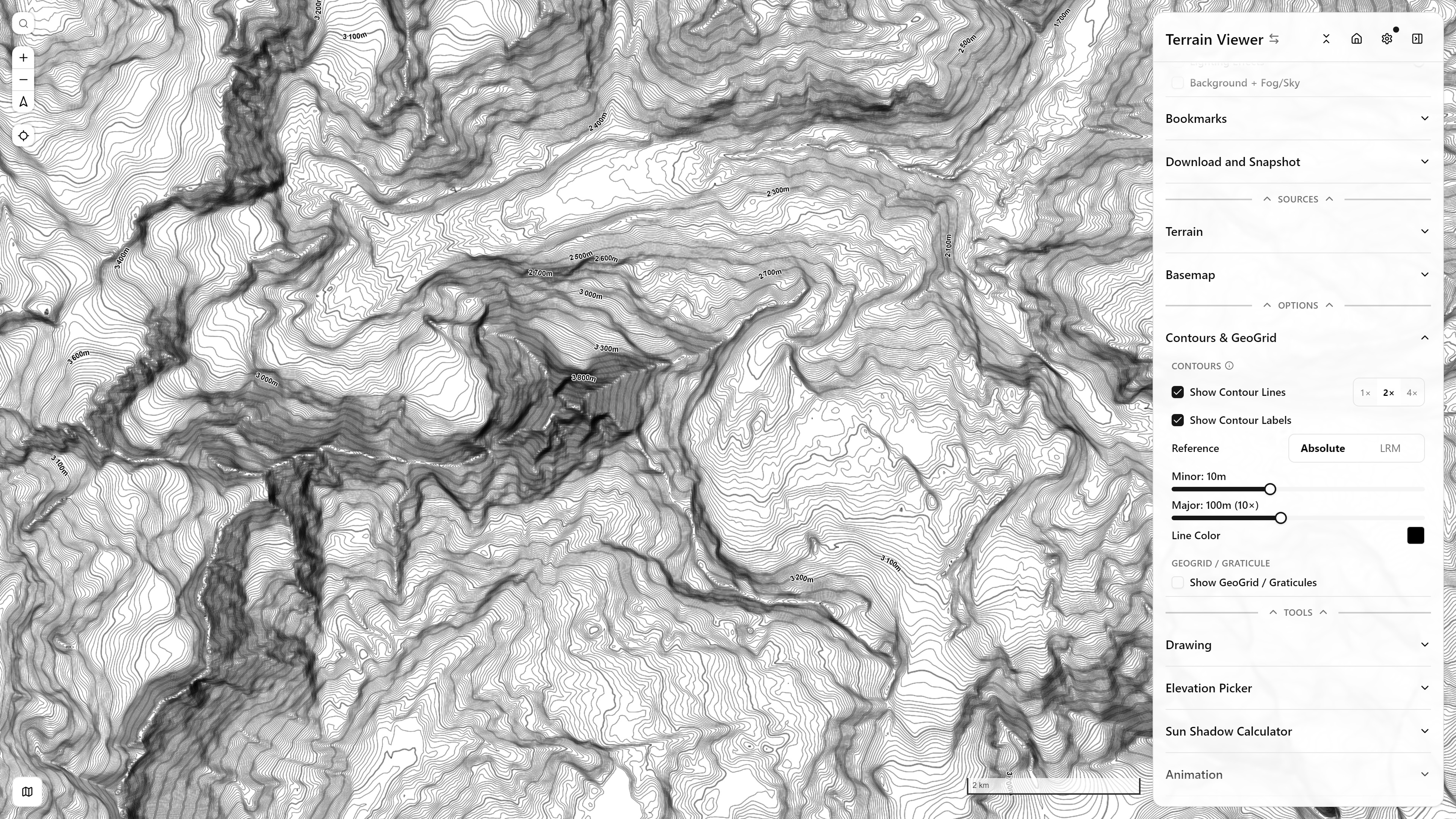
Terrain Analysis
Relief Visualization
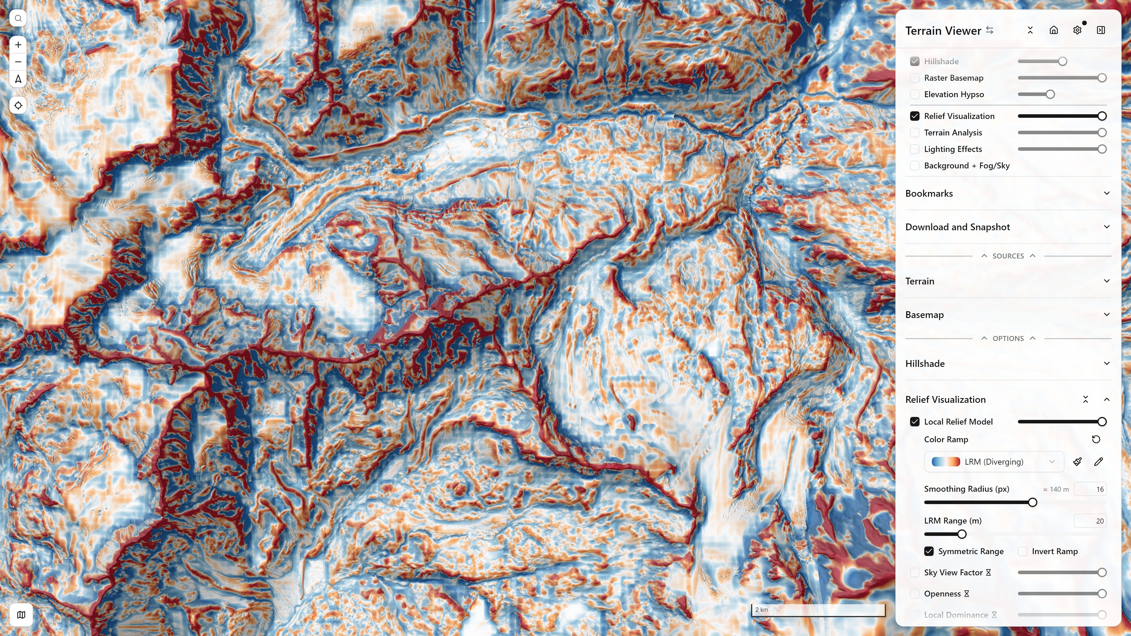
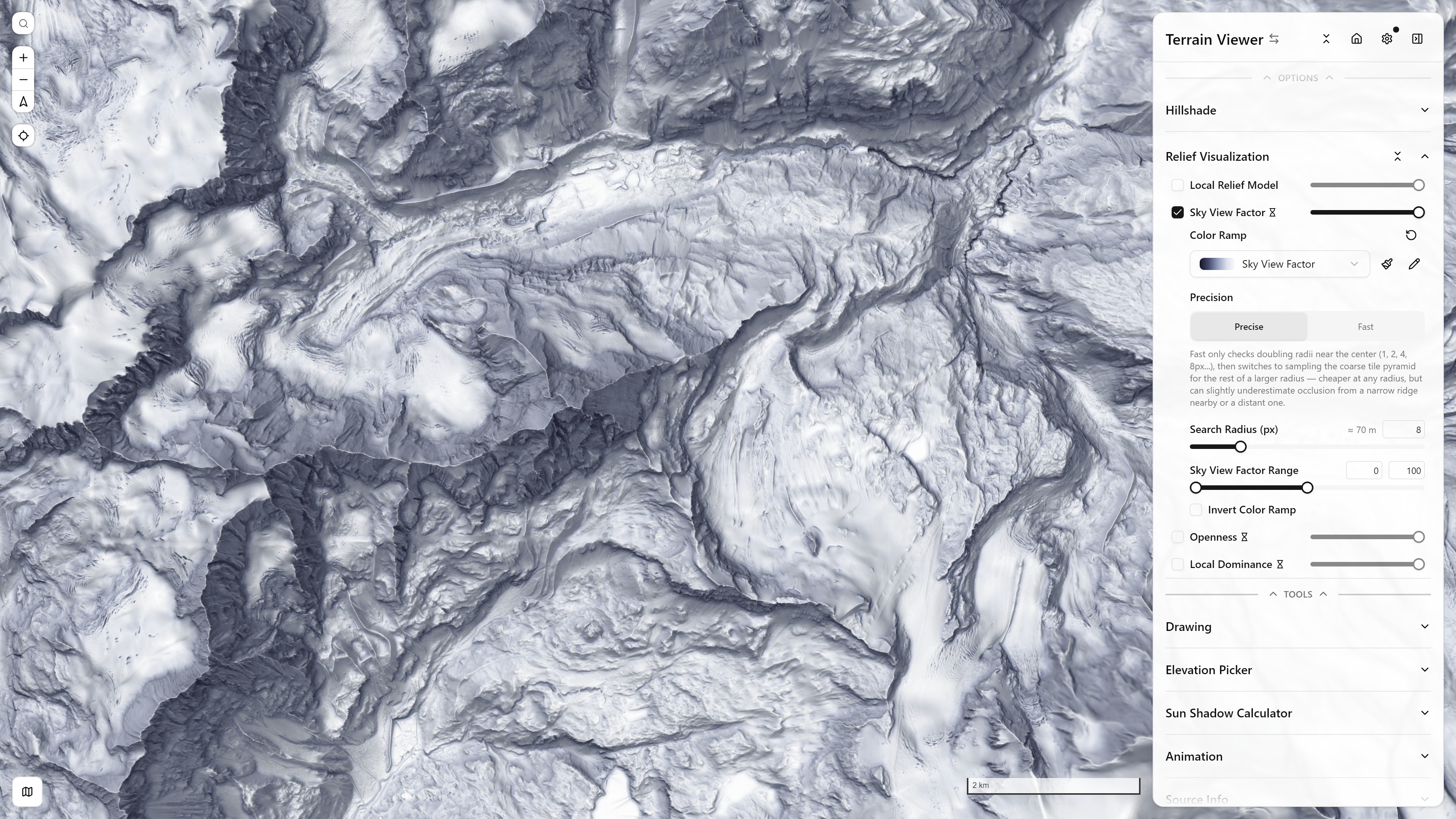
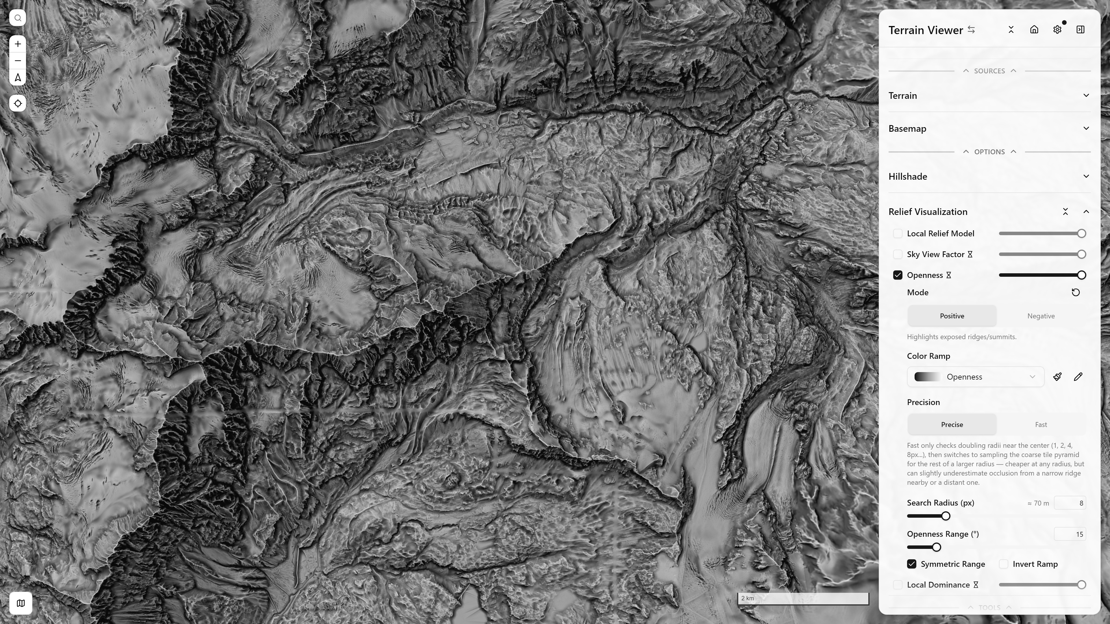
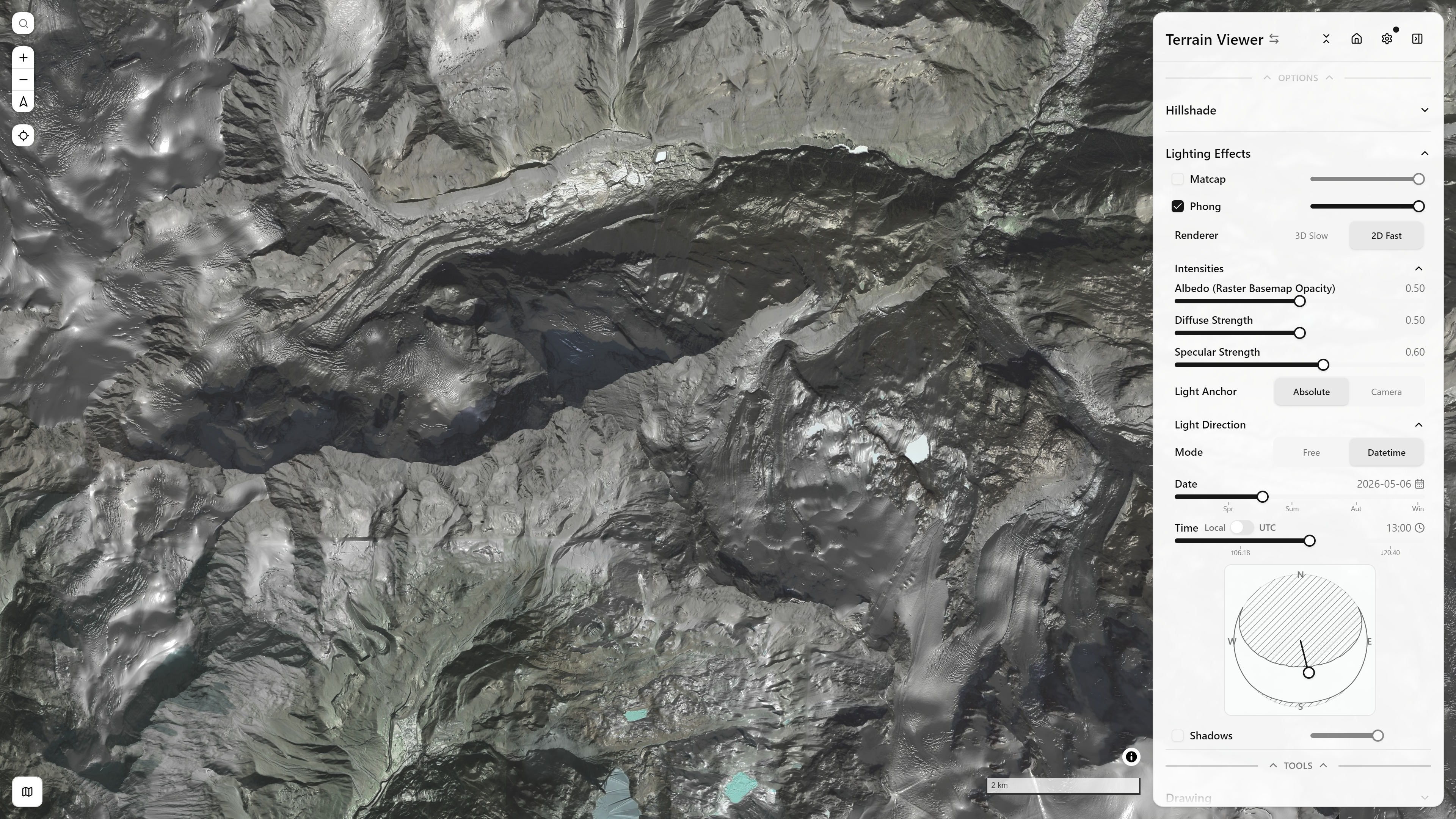
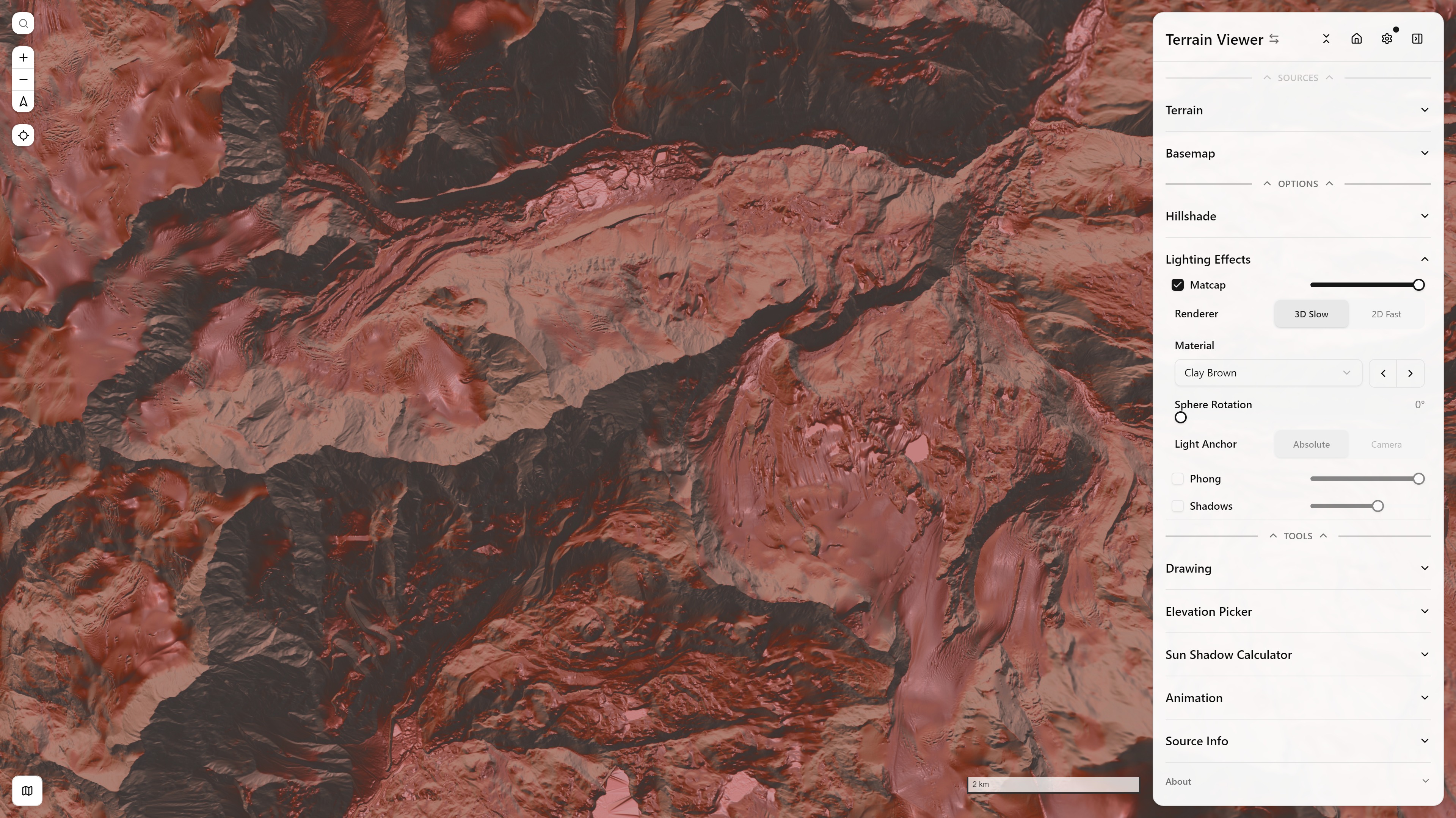
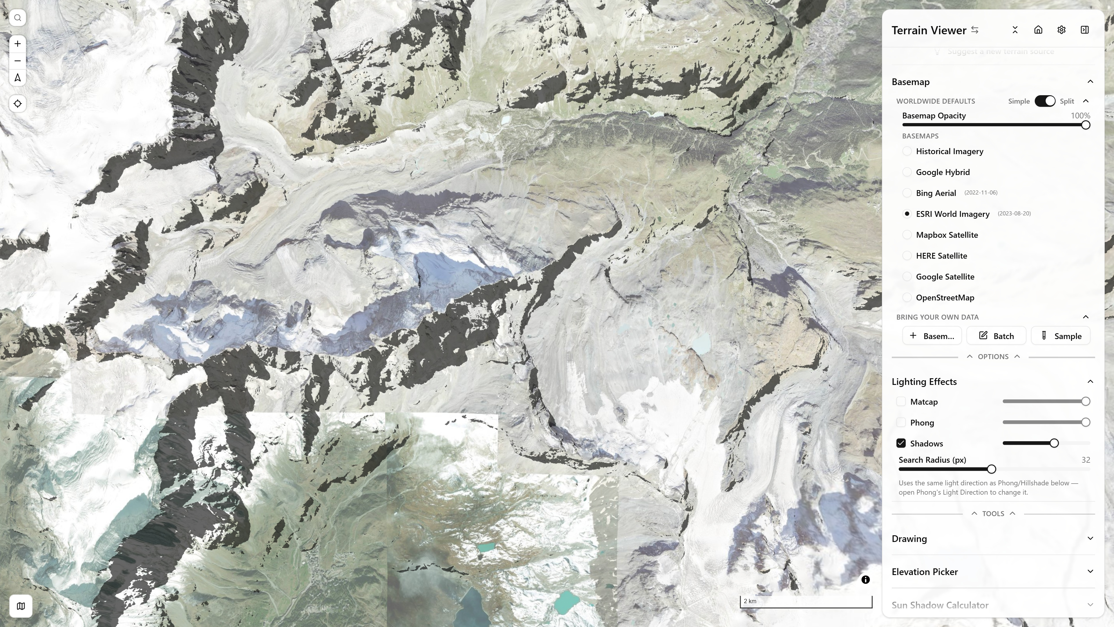
See Terrain Visualization Modes for the full writeup of every mode above.
Historical Imagery — a per-tile capture-date timeline, and any grid layout up to 4×2 for comparing providers/dates side by side. Below, a 2×2 grid mixes Google Earth Historical, ESRI Wayback, and a live Bing pane over the same Paris rooftops across four different capture dates:
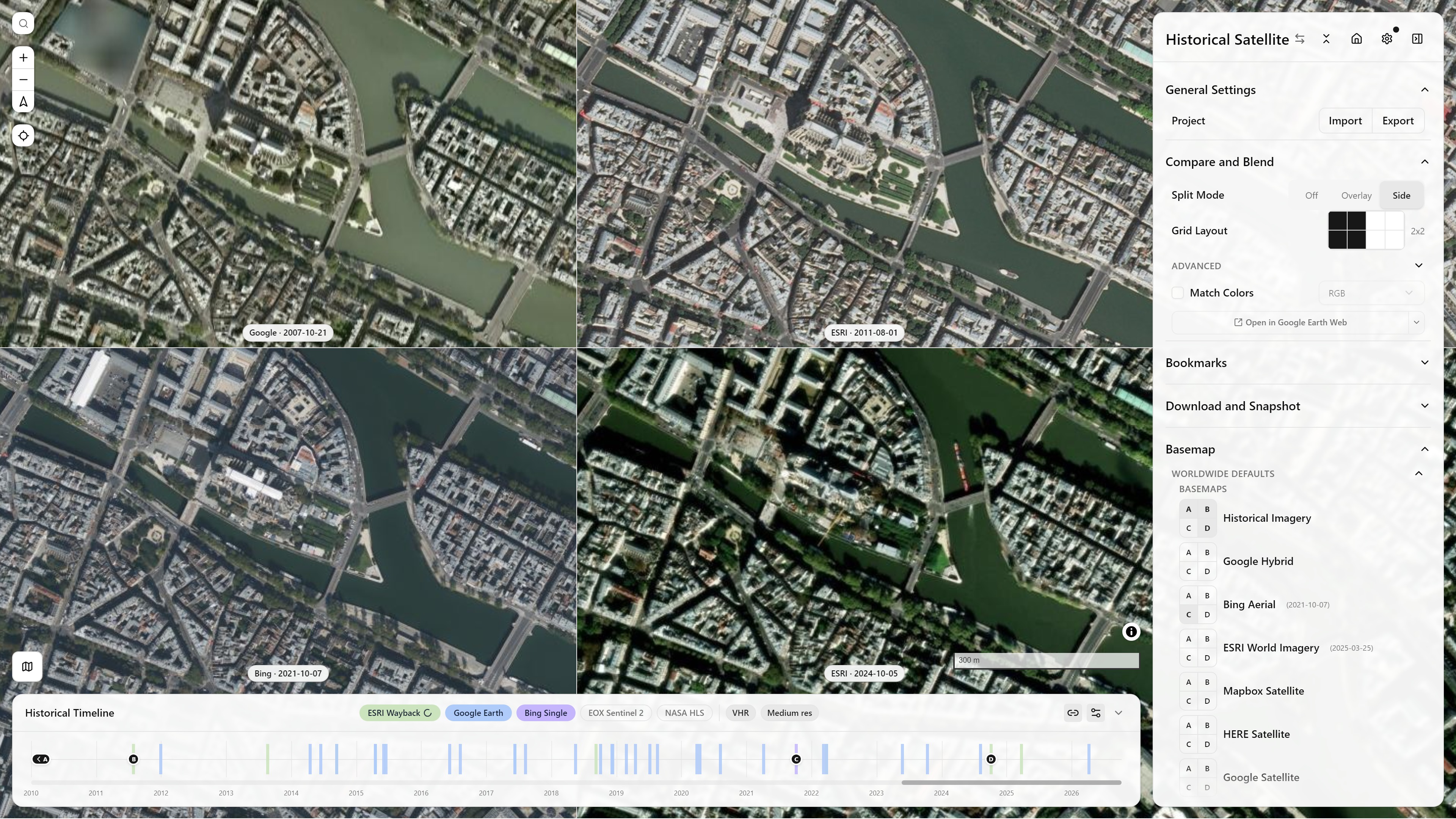
Historical Imagery, Split Mode Side (2×2) — Paris — open in app ↗
See Historical Imagery Timeline for how the timeline works, and Historical Sources for the providers and catalogs behind it.
Sidebar groups
- General Settings — View Mode (2D/3D/Globe), Project import/export, Terrain Exaggeration
- Compare and Blend — Split Mode (Off/Overlay/Side, up to an 8-view grid), blend mode and opacity, Match Colors, per-view border colours
- Visualization Modes
- Bookmarks
- Sources — Terrain and Basemaps and Overlays, including the combined Historical Imagery Timeline entry
- Options / Tools — per-mode option panels, Drawing, Elevation Picker, Animation, Source Info