Terrain Viewer
Features

Walkthrough

Every step of the in-app guided tour (Coachmark) — intro, Terrain deep dive, Historical Imagery deep dive

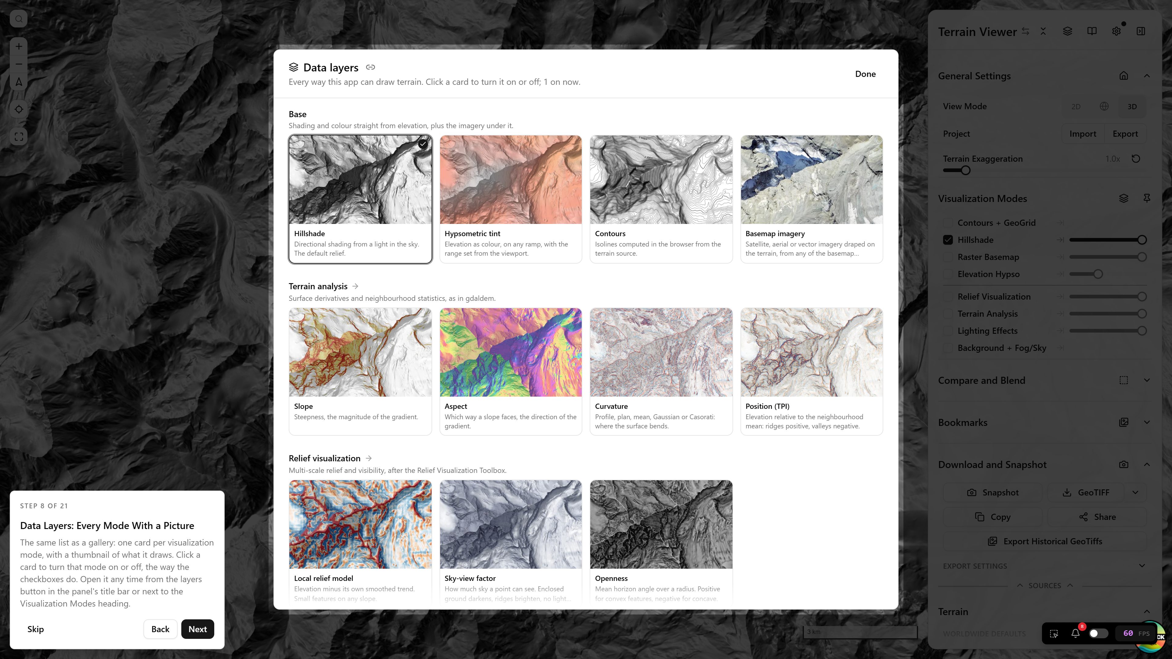
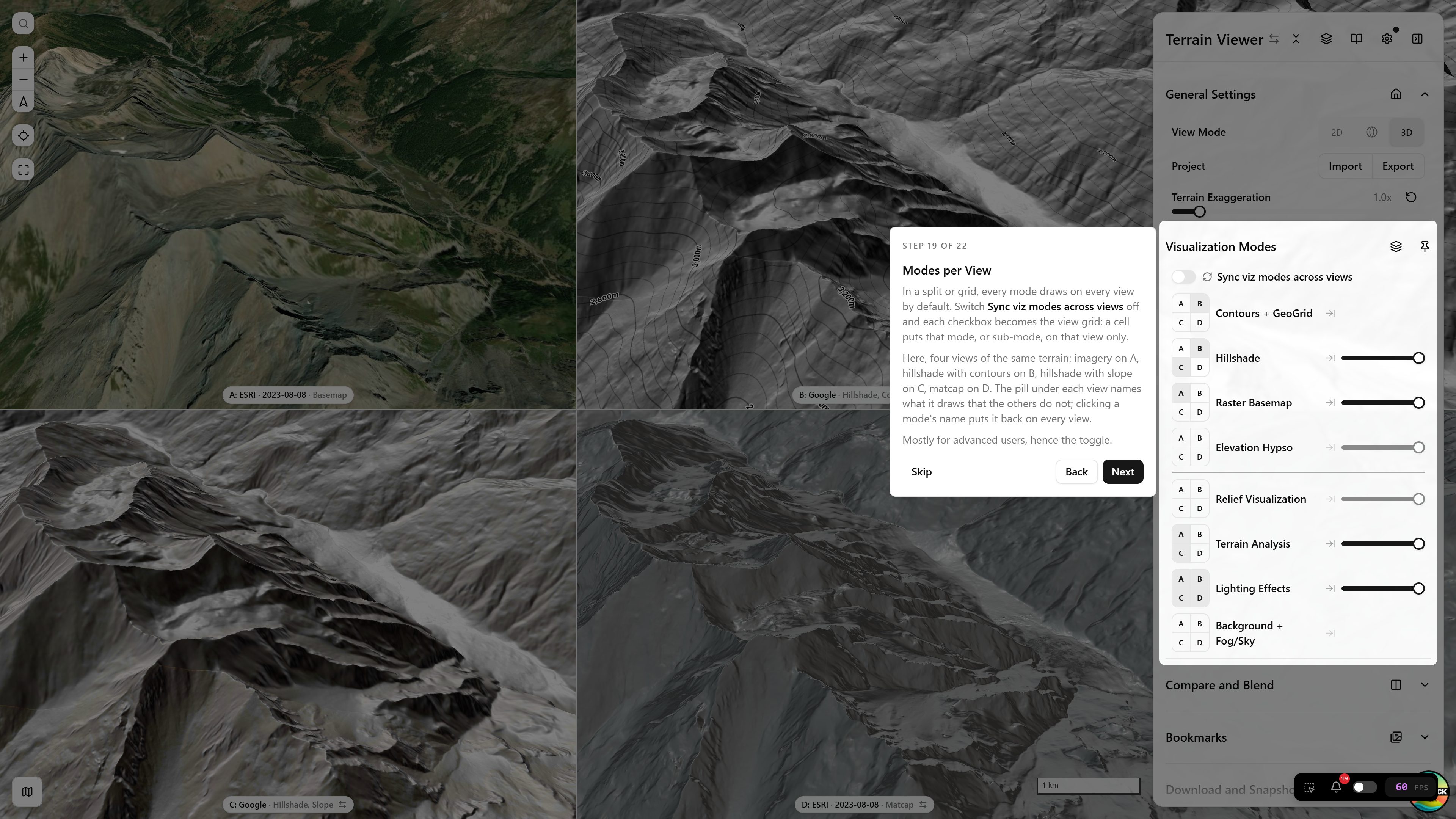
The app ships a guided tour (Coachmark) that auto-starts on first visit, or any time from Settings → Take the Tour. It's five shared intro steps, then a fork — go deeper on Terrain visualization tools, or jump into Historical Imagery. This page walks through every step of both branches as a screenshot gallery; the in-app tour itself is generally the faster way to get oriented — open the app with the tour running ↗ (or click any thumbnail below to zoom in, then arrow-key through the rest).

Intro (shared)
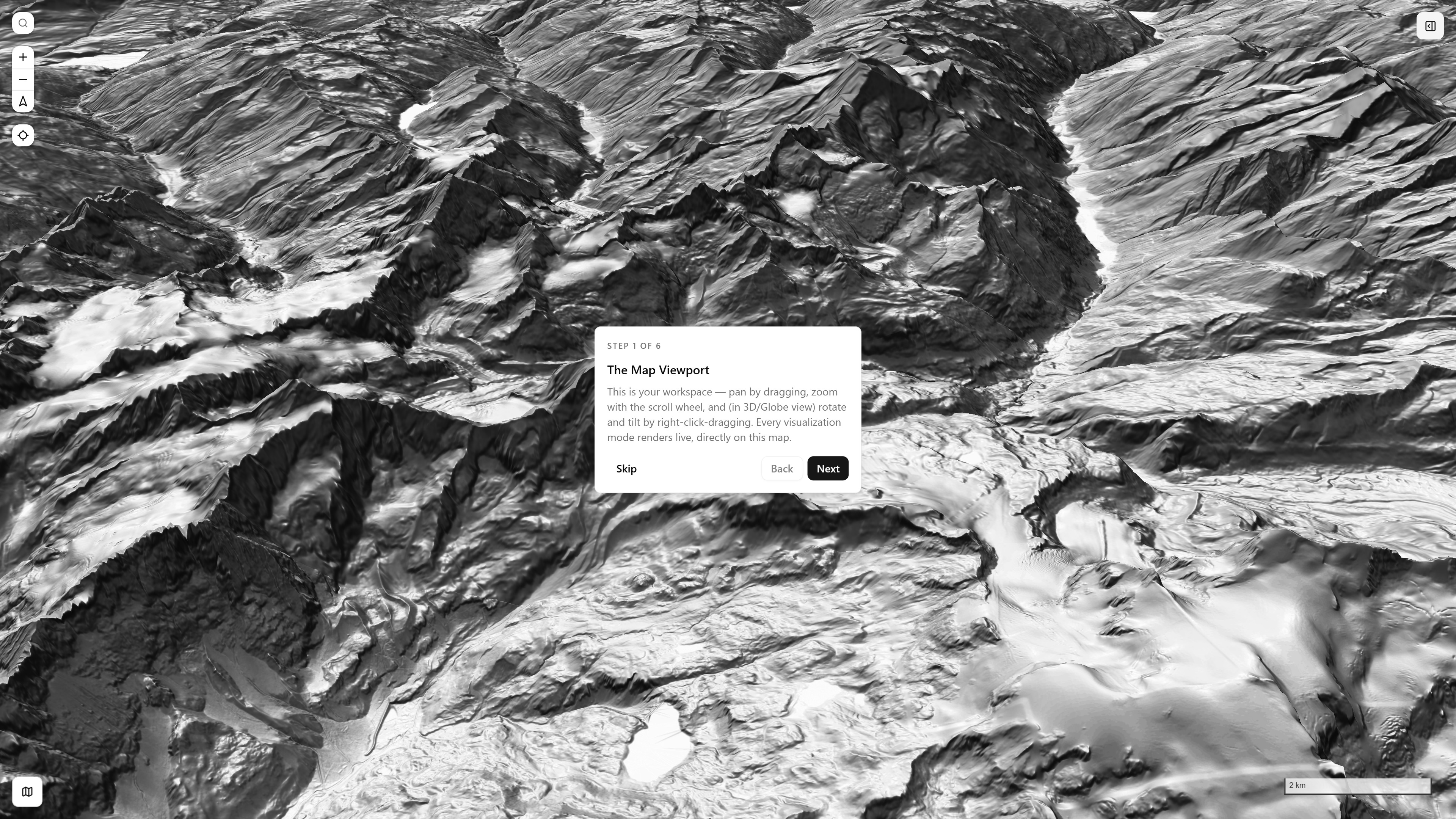
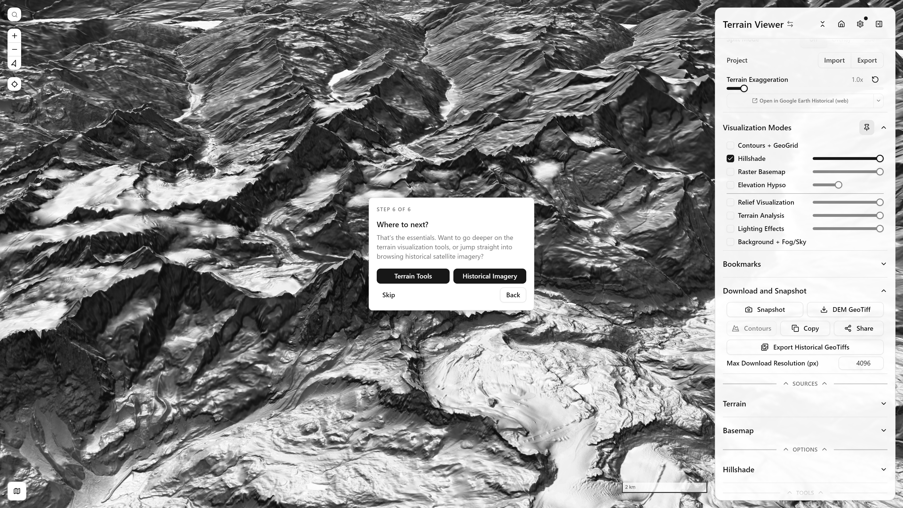
Step 1 of 6, The Map Viewport — full-screen spotlight over a tilted Hillshade render, Matterhorn massif
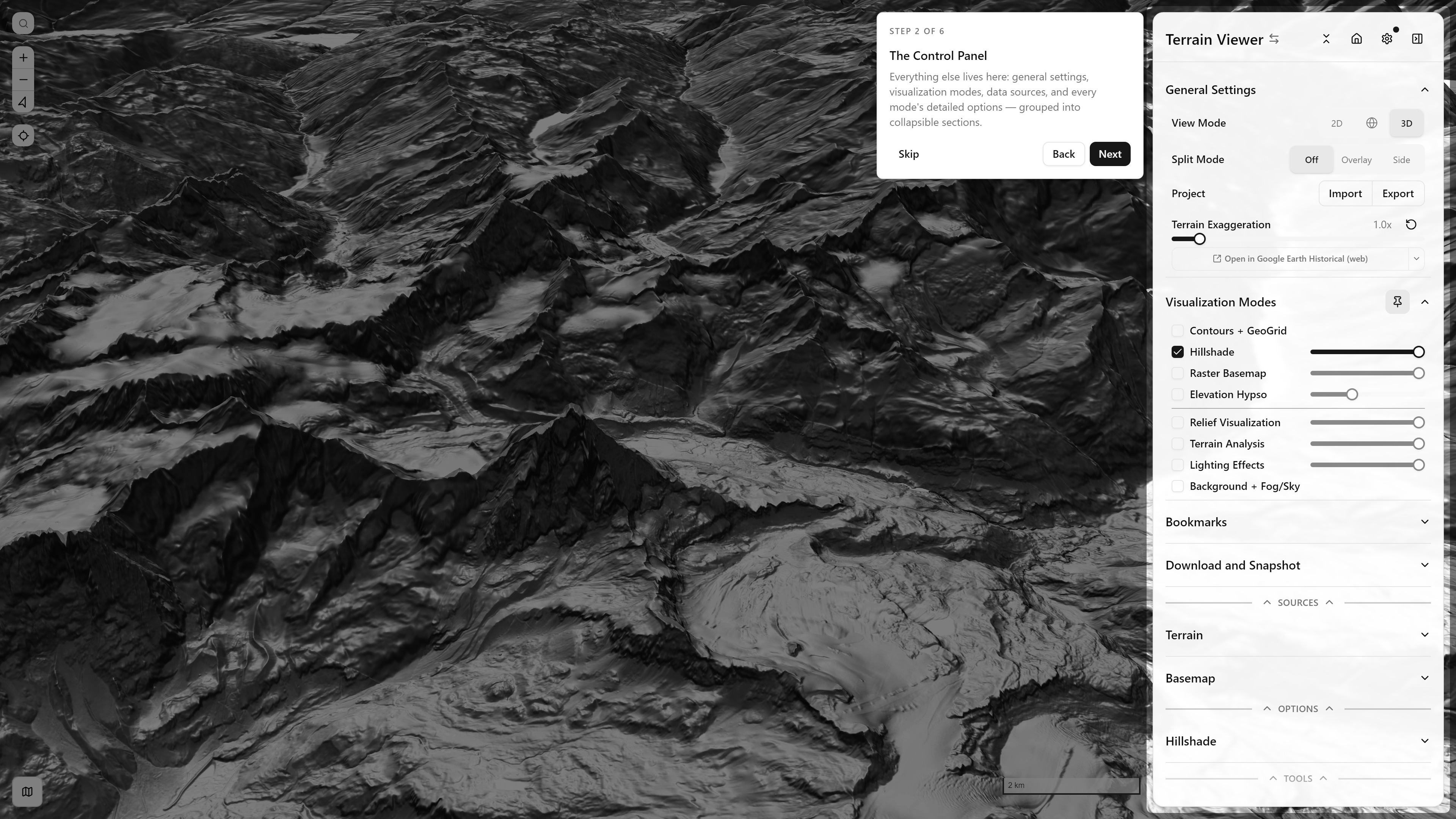
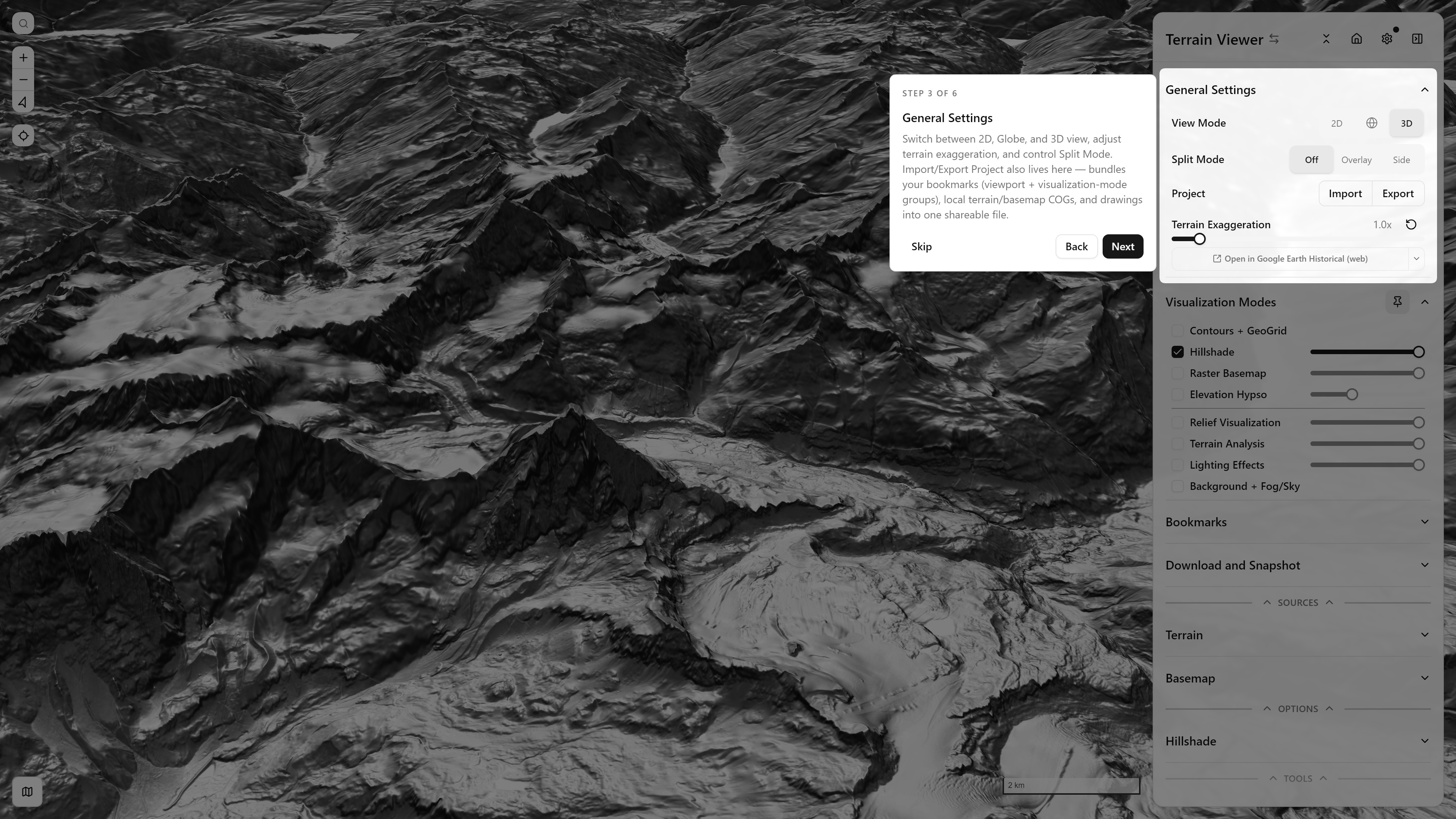
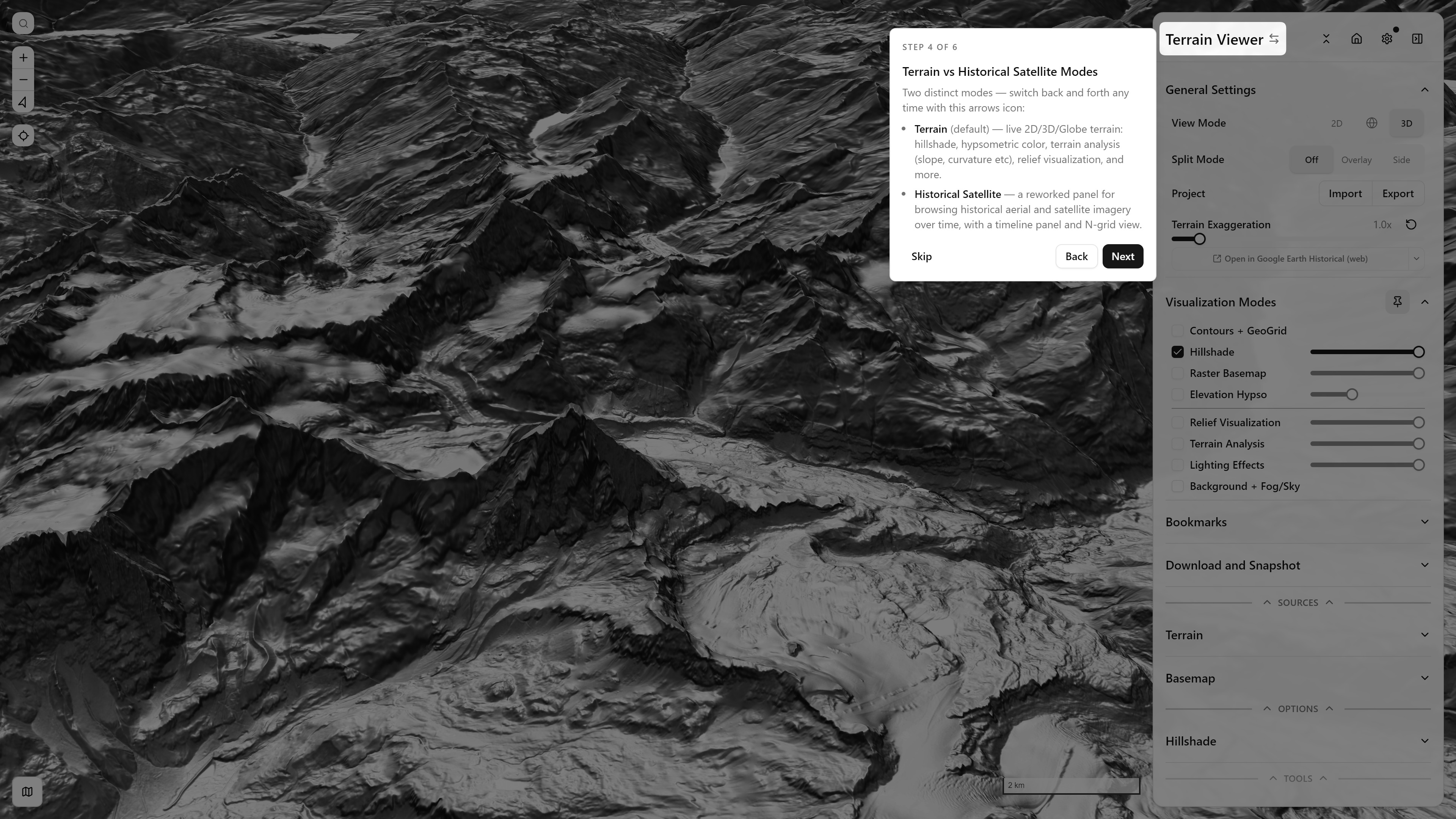
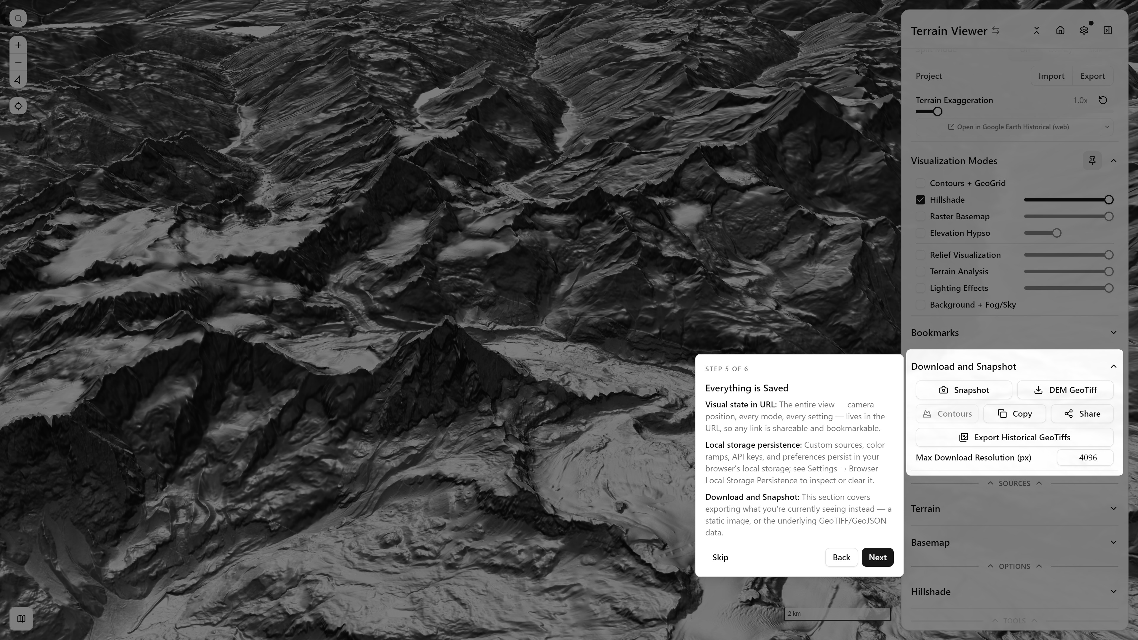
Step 1 of 6, The Map Viewport — full-screen spotlight over a tilted Hillshade render, Matterhorn massifStep 2 of 6, The Control Panel — spotlighting the full sidebarStep 3 of 6, General Settings — View Mode, Split Mode, Project import/export, Terrain ExaggerationStep 4 of 6, Terrain vs Historical Satellite Modes — explaining the mode switchStep 5 of 6, Everything is Saved — URL state, local storage persistence, Download and SnapshotStep 6 of 6, Where to next — the branch choice between Terrain Tools and Historical Imagery

Terrain Tools branch
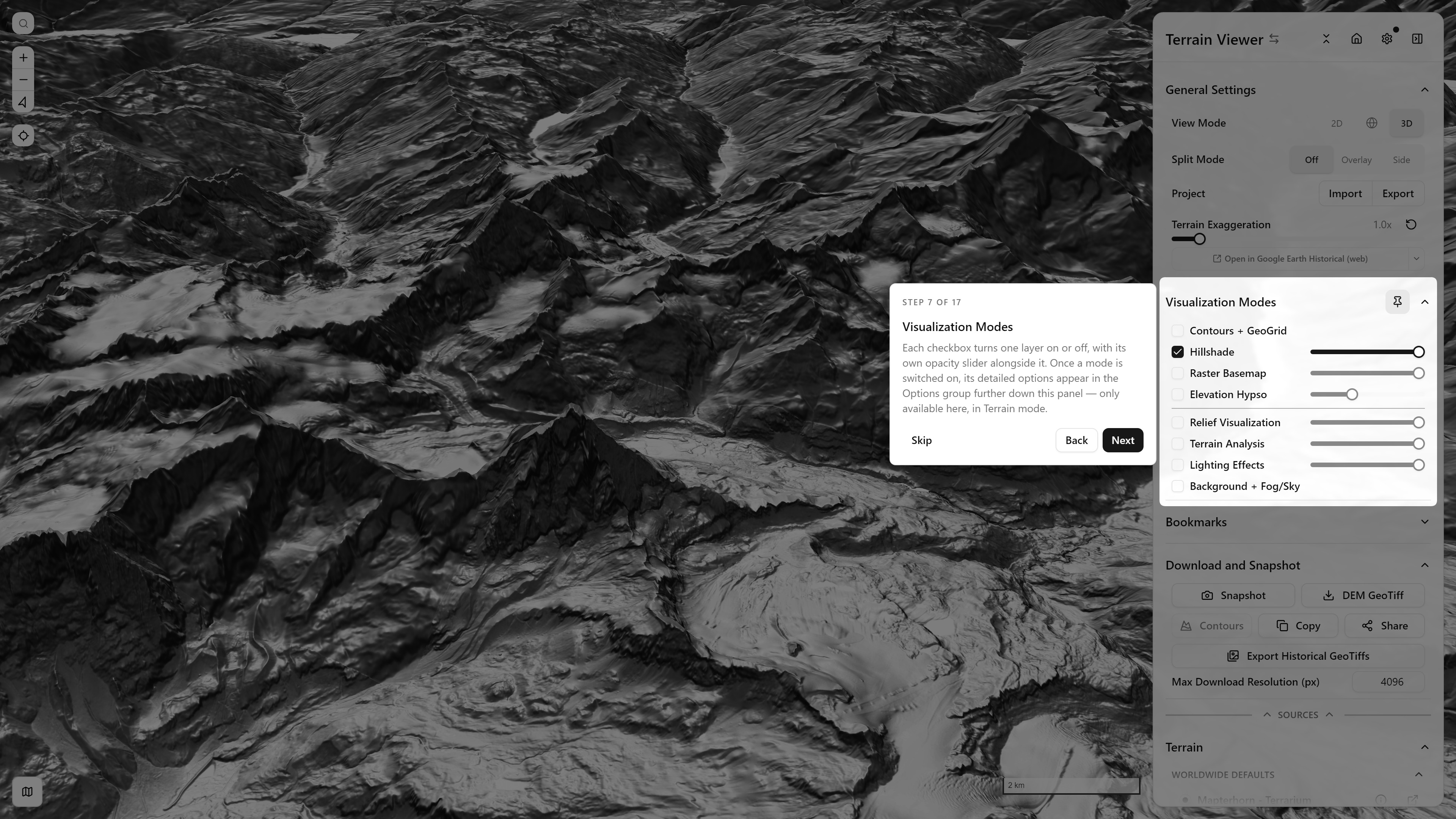
Step 7 of 17, Visualization Modes — each checkbox is one layer, with its own opacity slider
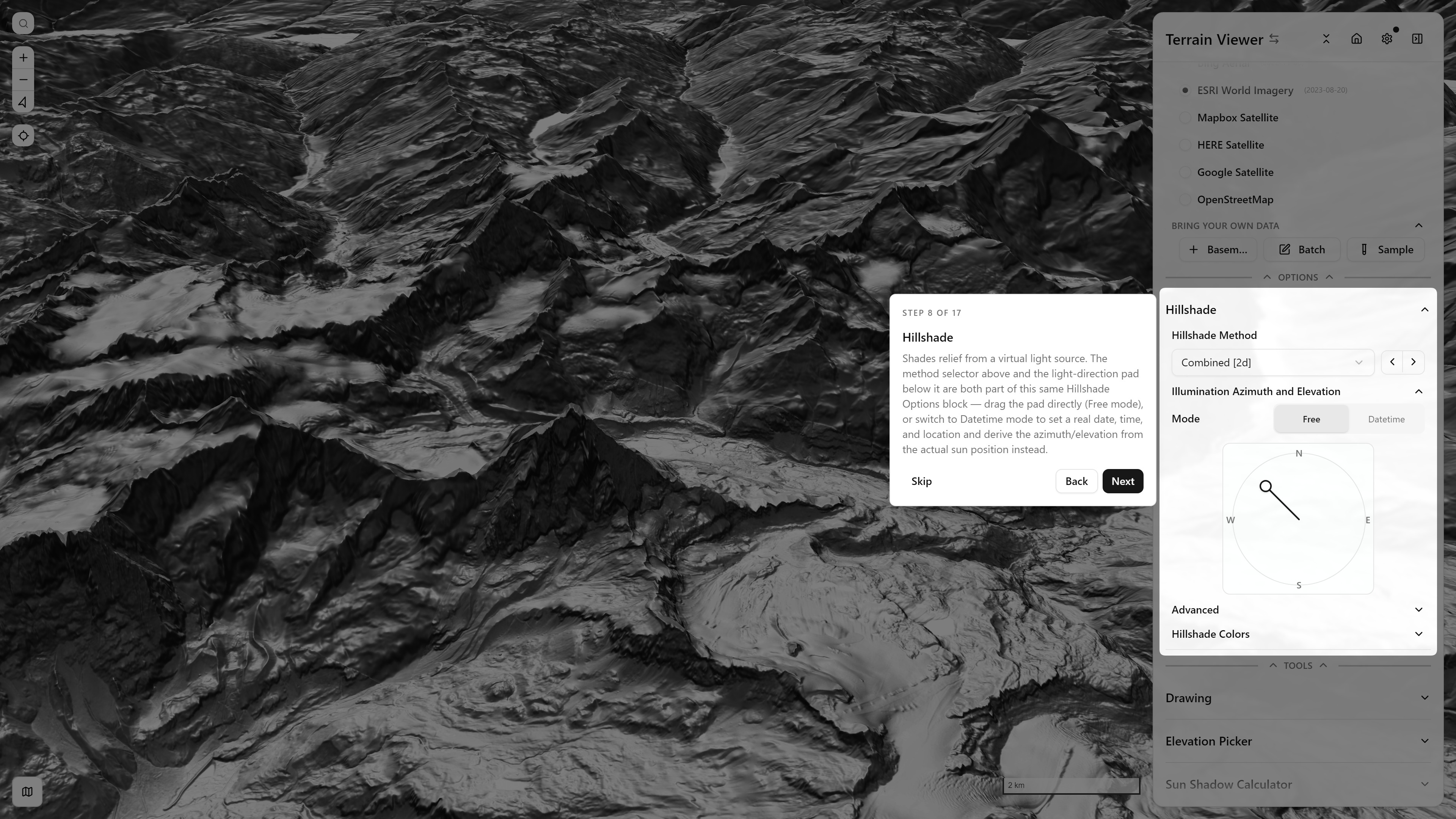
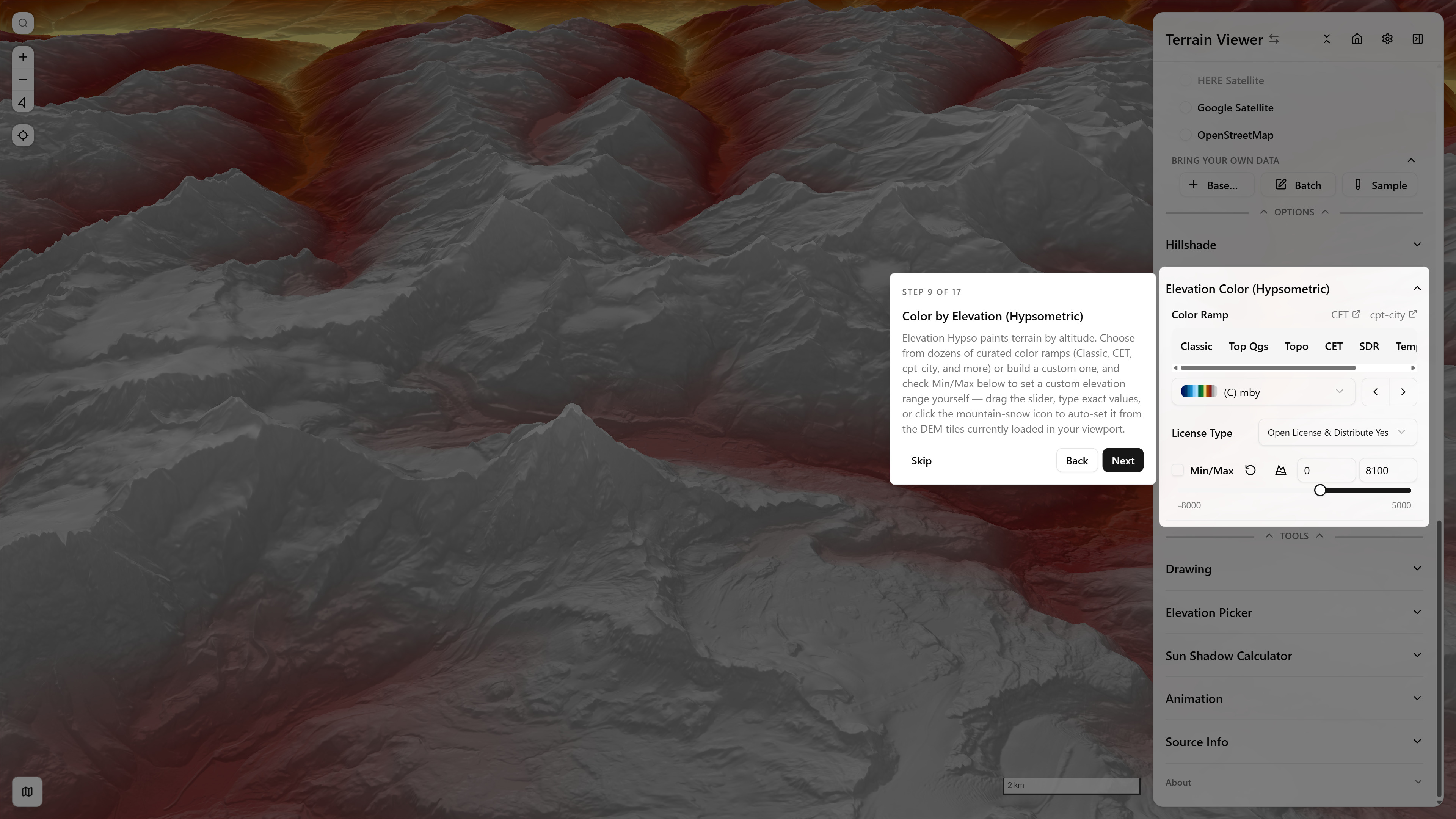
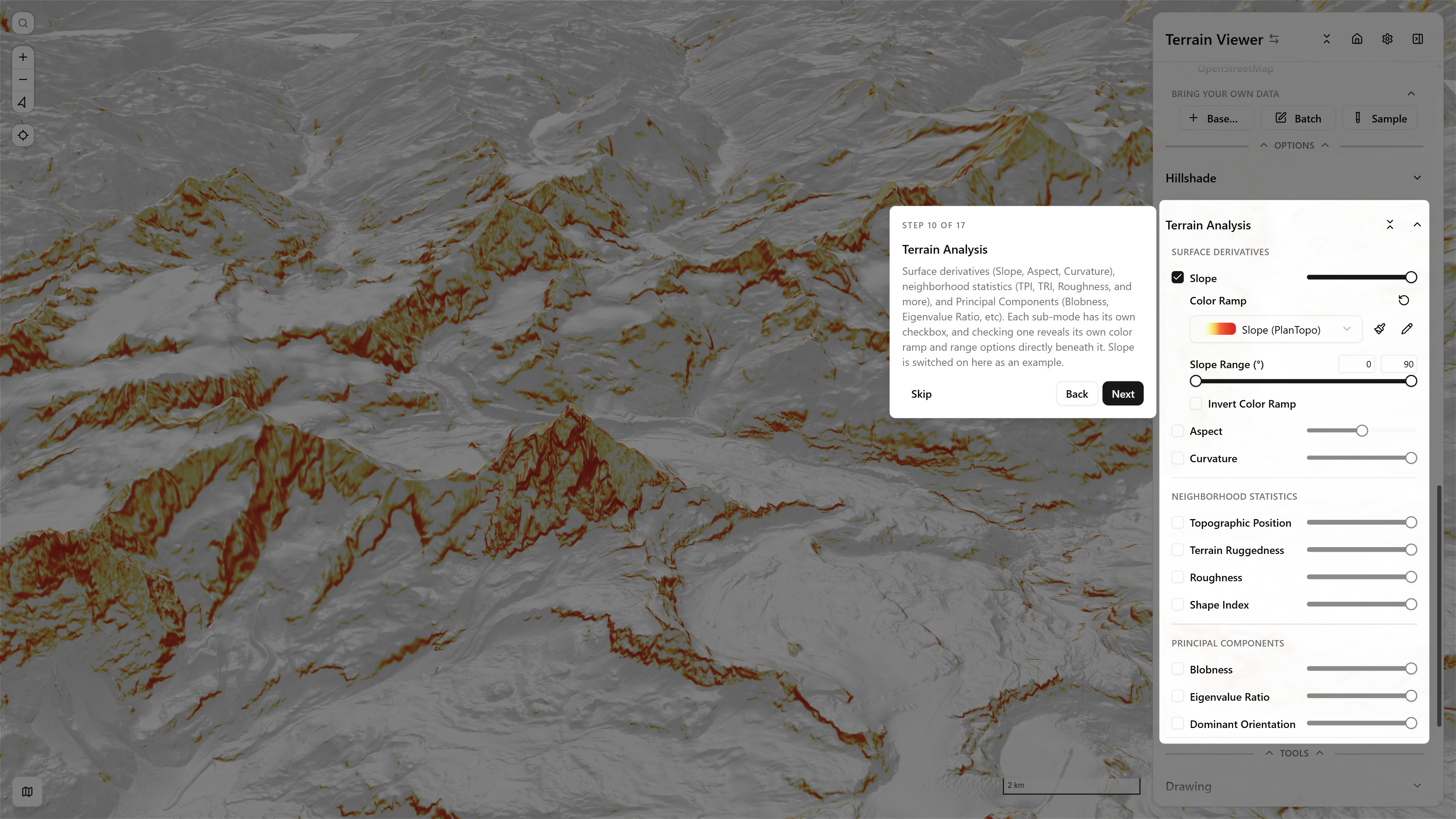
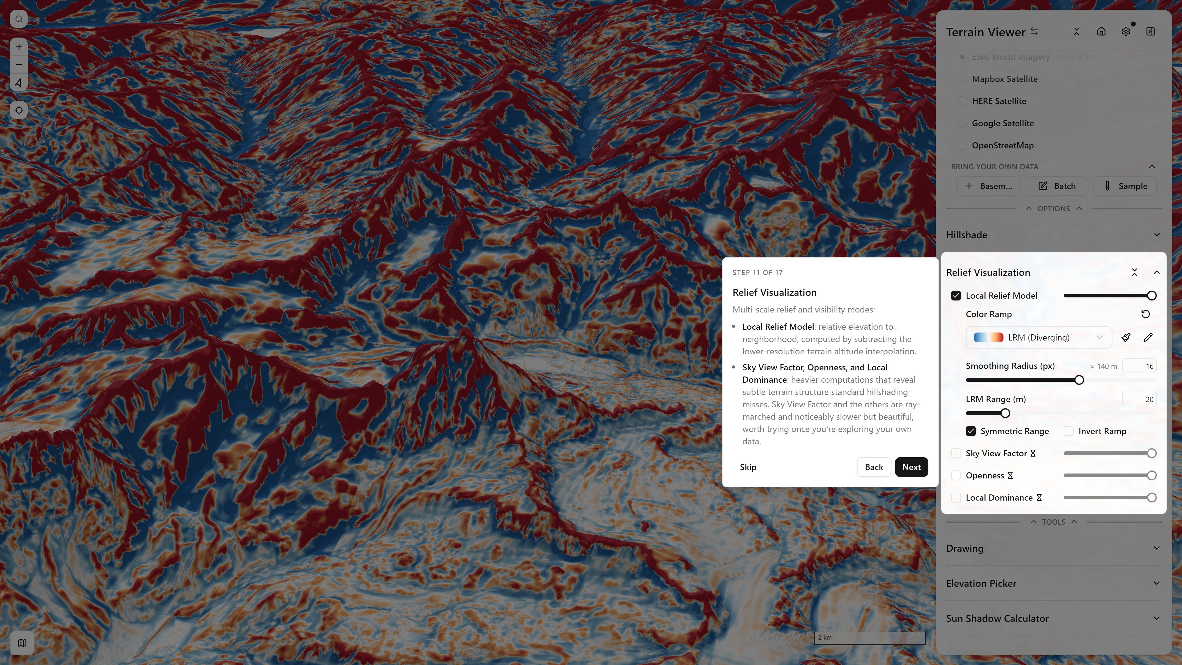
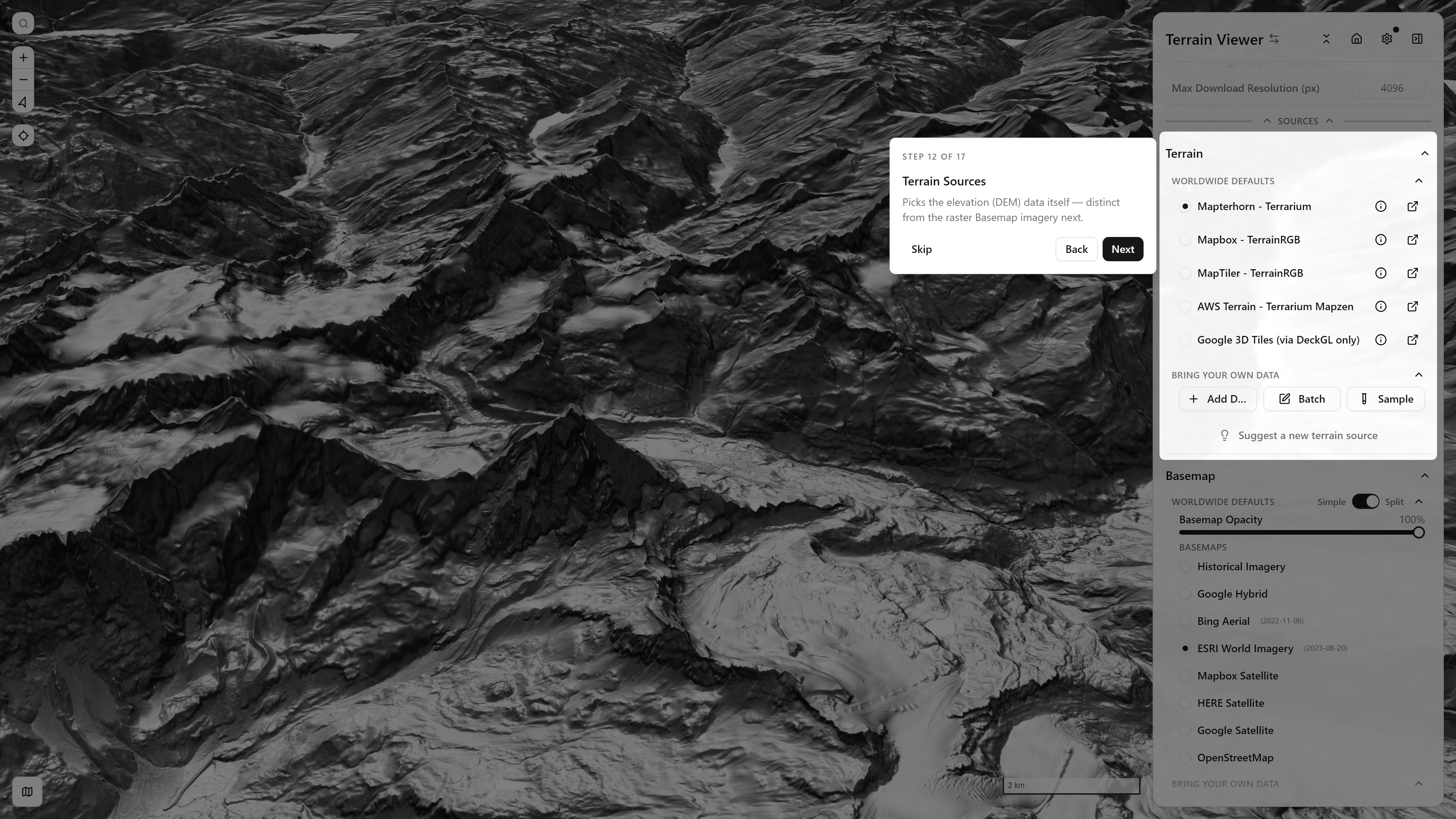
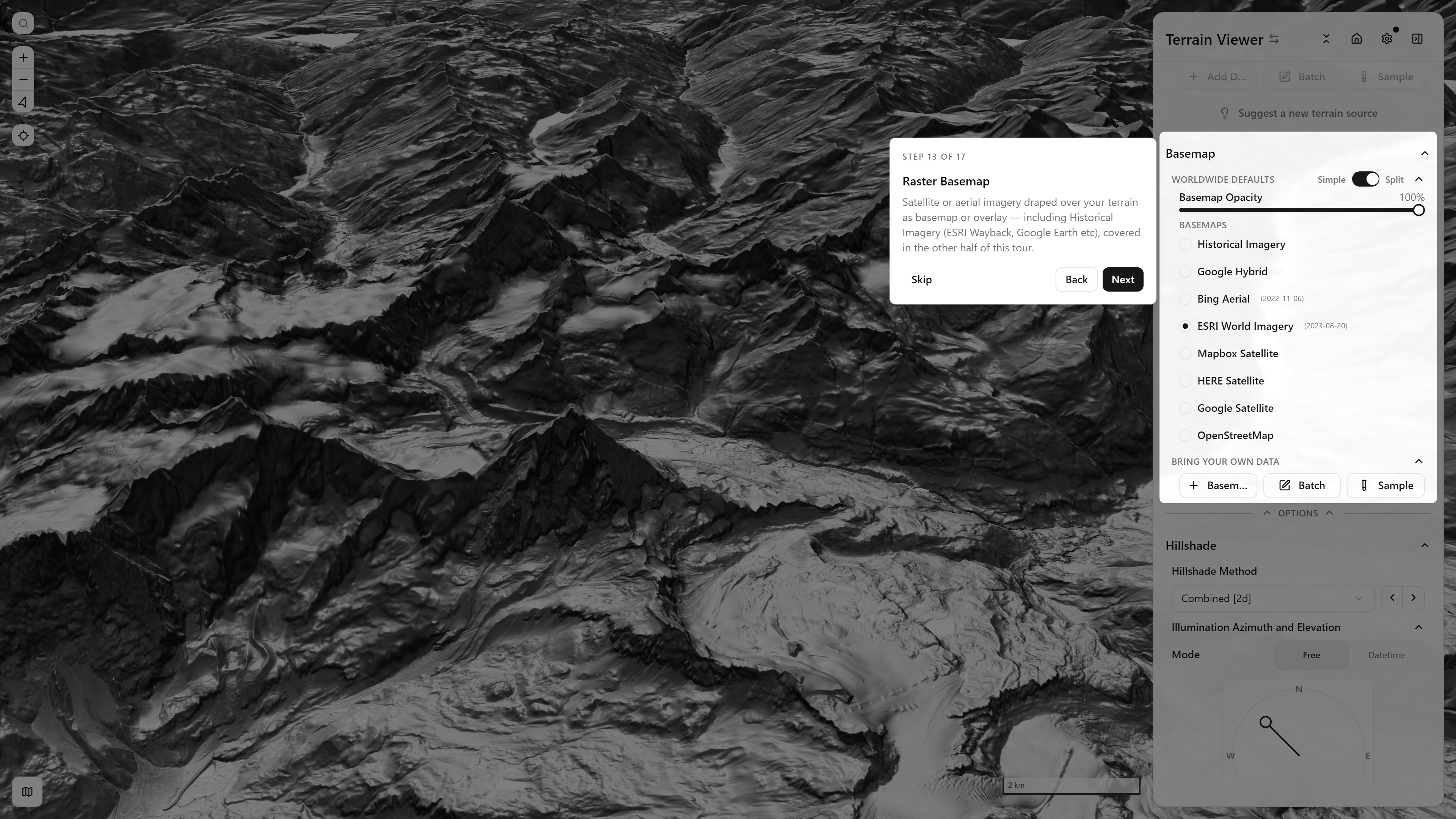
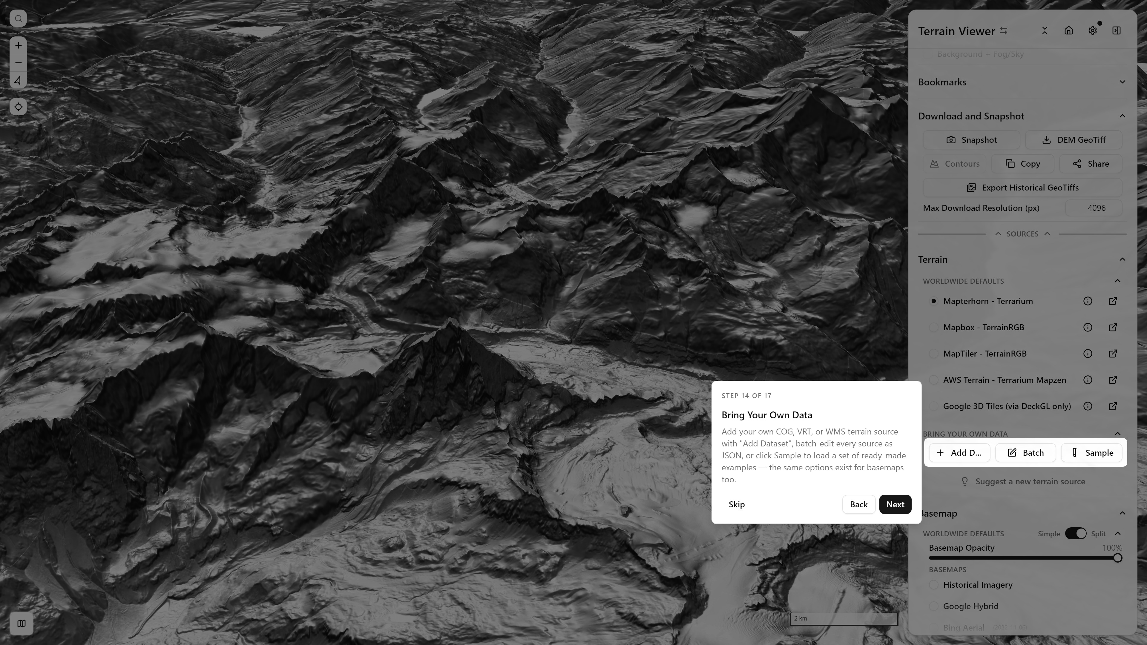
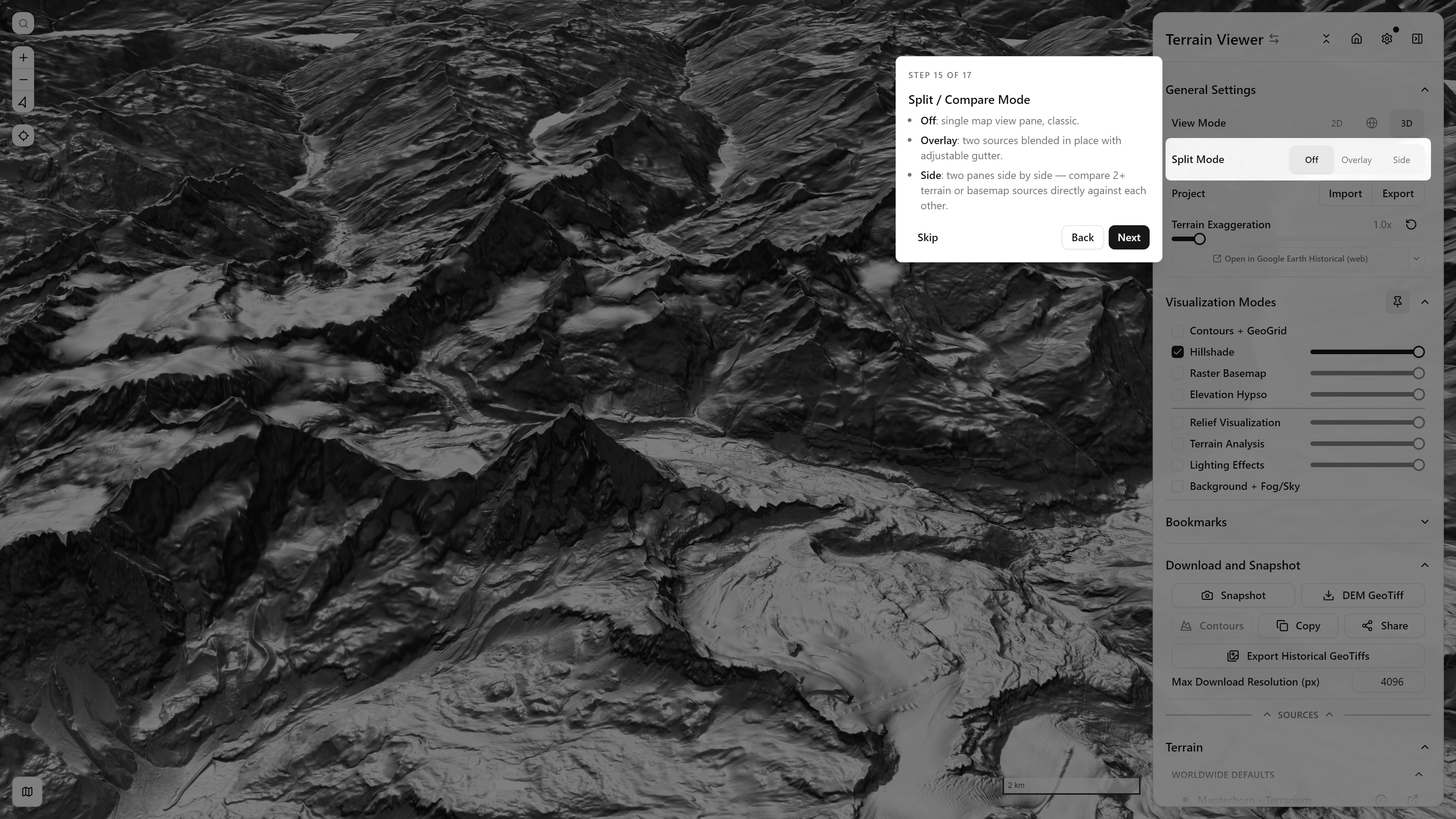
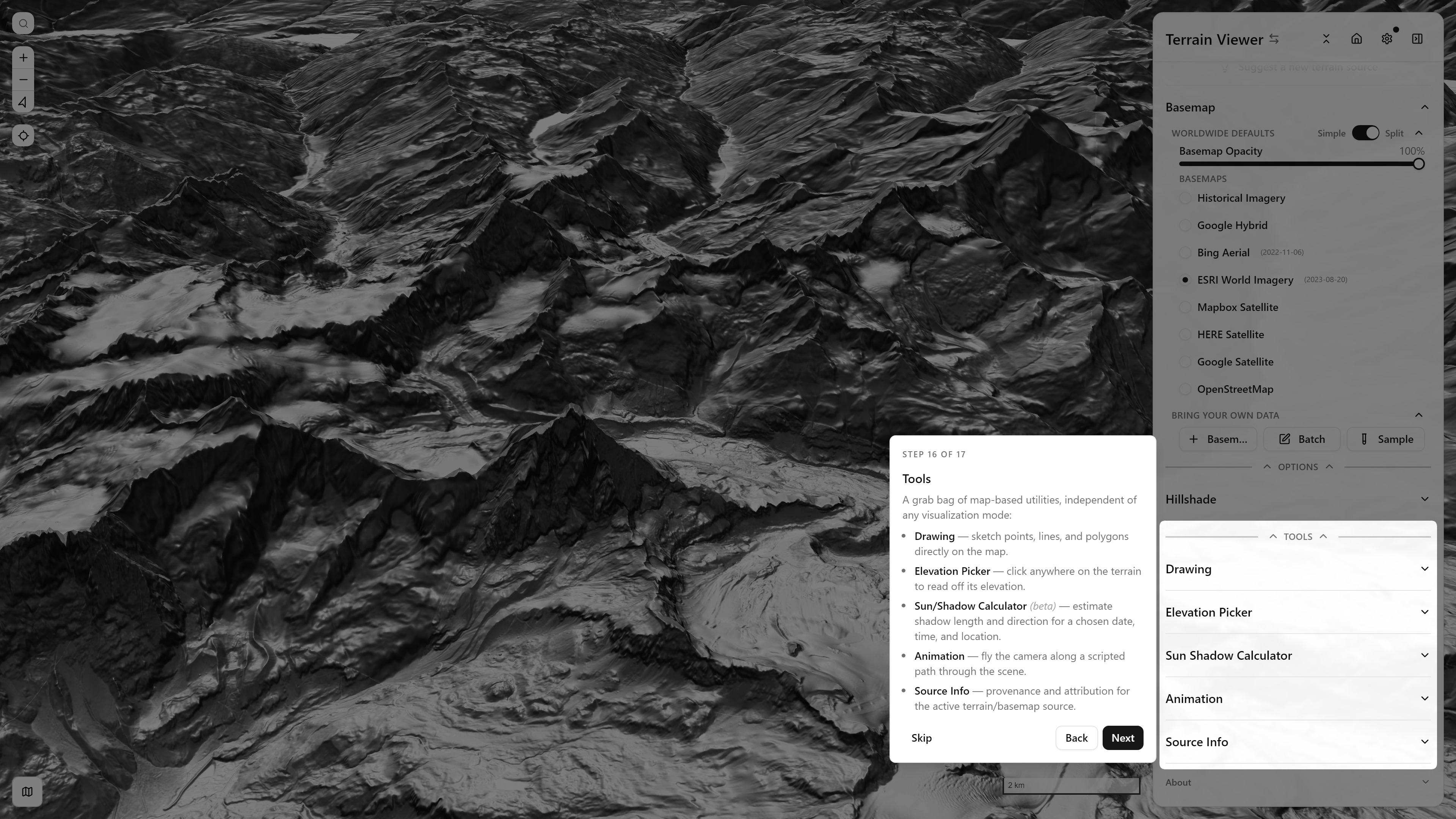
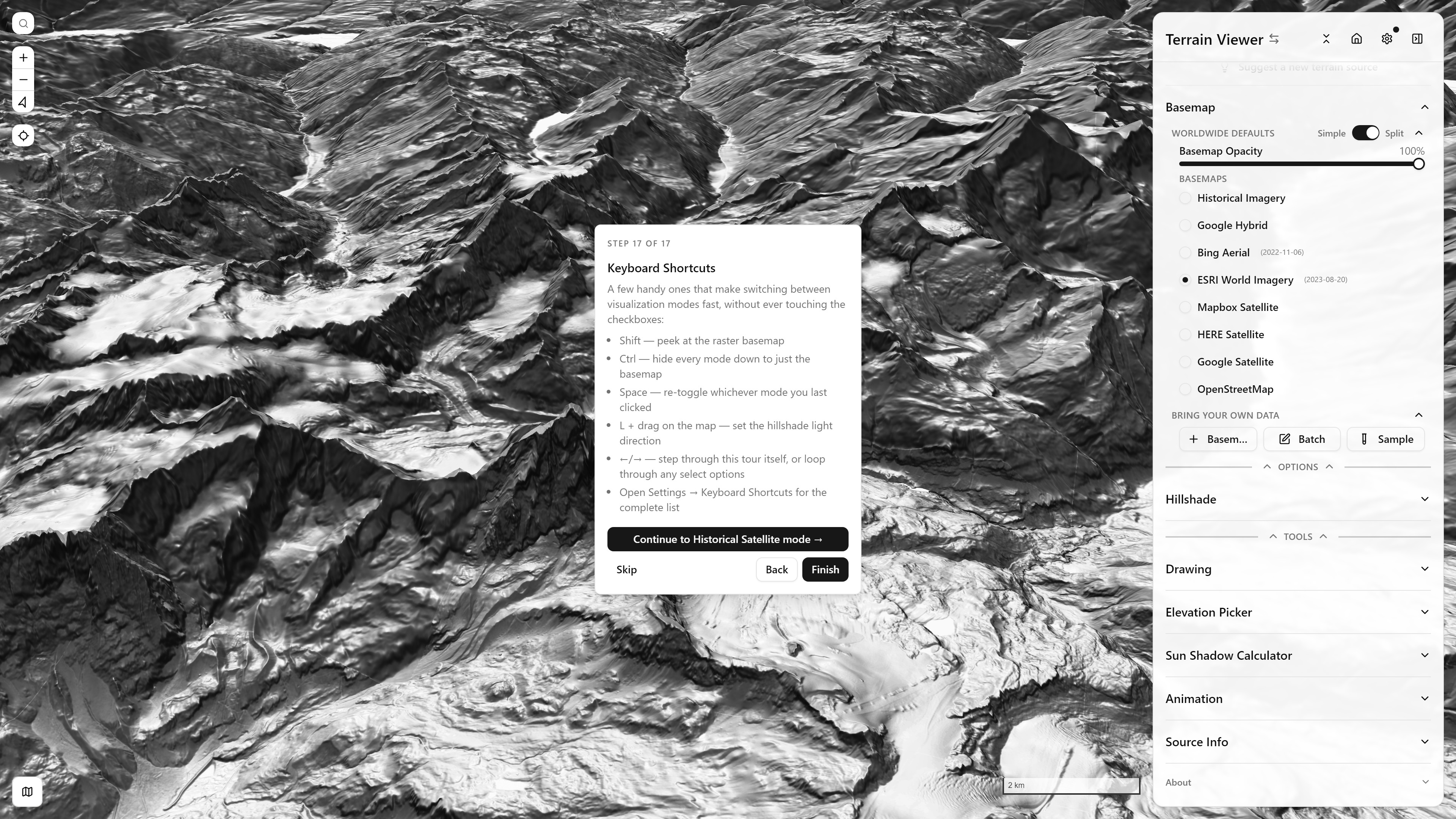
Step 7 of 17, Visualization Modes — each checkbox is one layer, with its own opacity sliderStep 8 of 17, Hillshade — method selector and light-direction padStep 9 of 17, Color by Elevation (Hypsometric) — color ramps and min/max rangeStep 10 of 17, Terrain Analysis — surface derivatives, neighborhood statistics, principal componentsStep 11 of 17, Relief Visualization — LRM, Sky View Factor, Openness, Local DominanceStep 12 of 17, Terrain Sources — the elevation (DEM) pickerStep 13 of 17, Raster Basemap — satellite/aerial imagery draped over terrainStep 14 of 17, Bring Your Own Data — Add Dataset, Batch Edit, Sample sourcesStep 15 of 17, Split / Compare Mode — Off, Overlay, SideStep 16 of 17, Tools — Drawing, Elevation Picker, Sun/Shadow Calculator, Animation, Source InfoStep 17 of 17, Keyboard Shortcuts — the Terrain-branch wrap-up

Historical Imagery branch
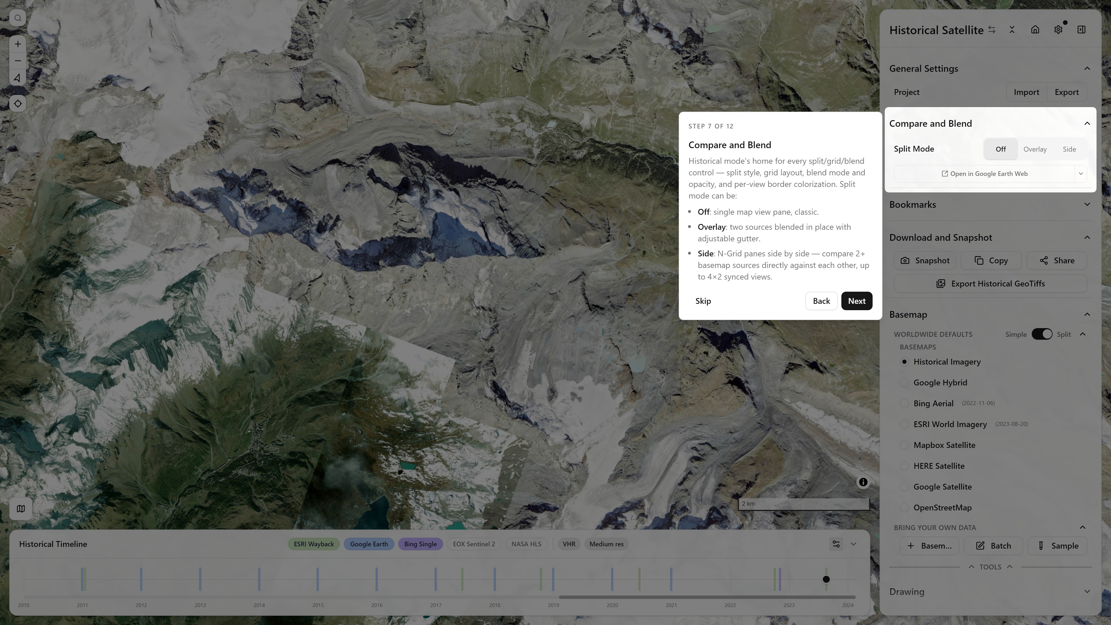
Step 7 of 12, Compare and Blend — Historical mode's split/grid/blend home
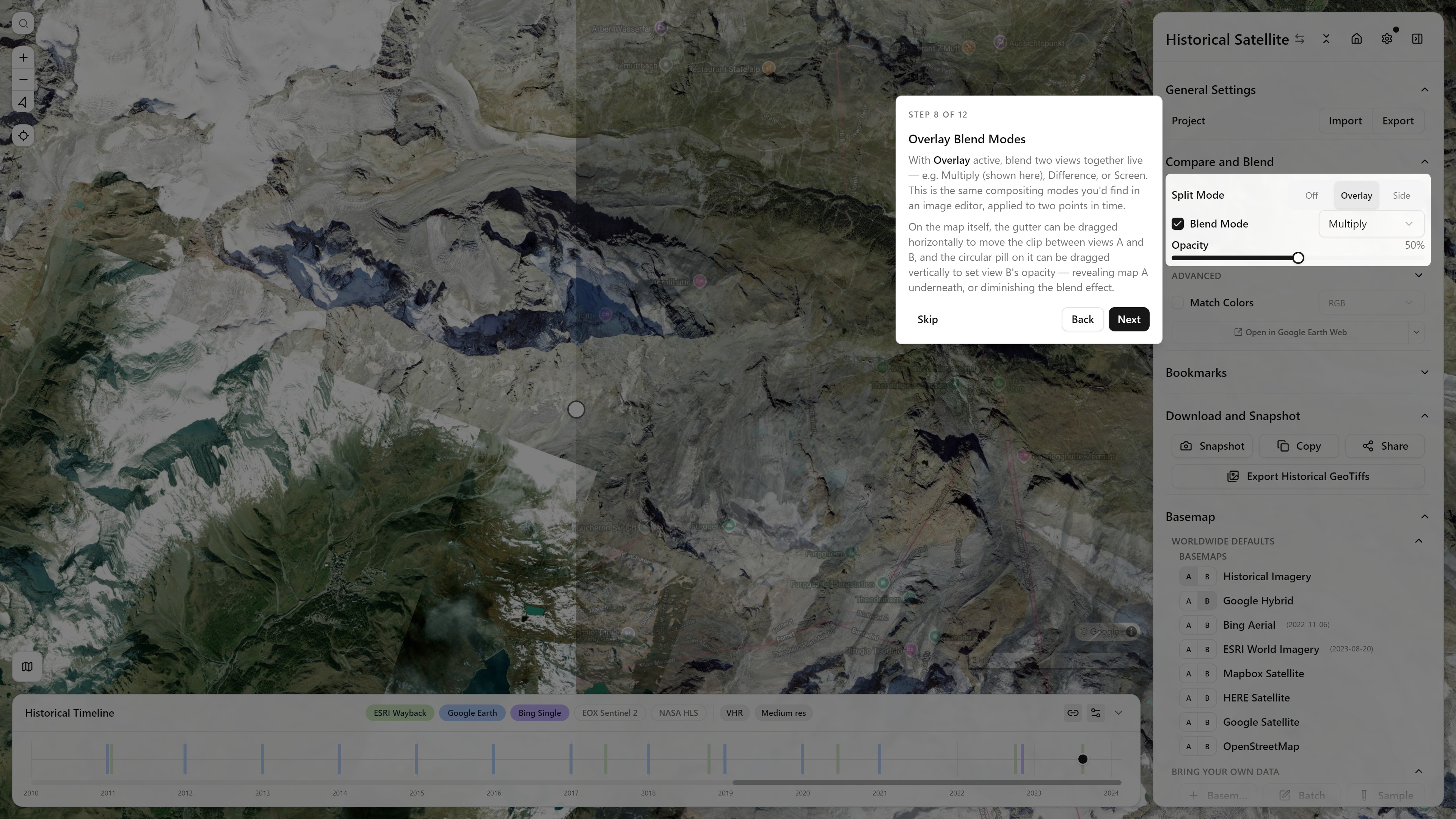
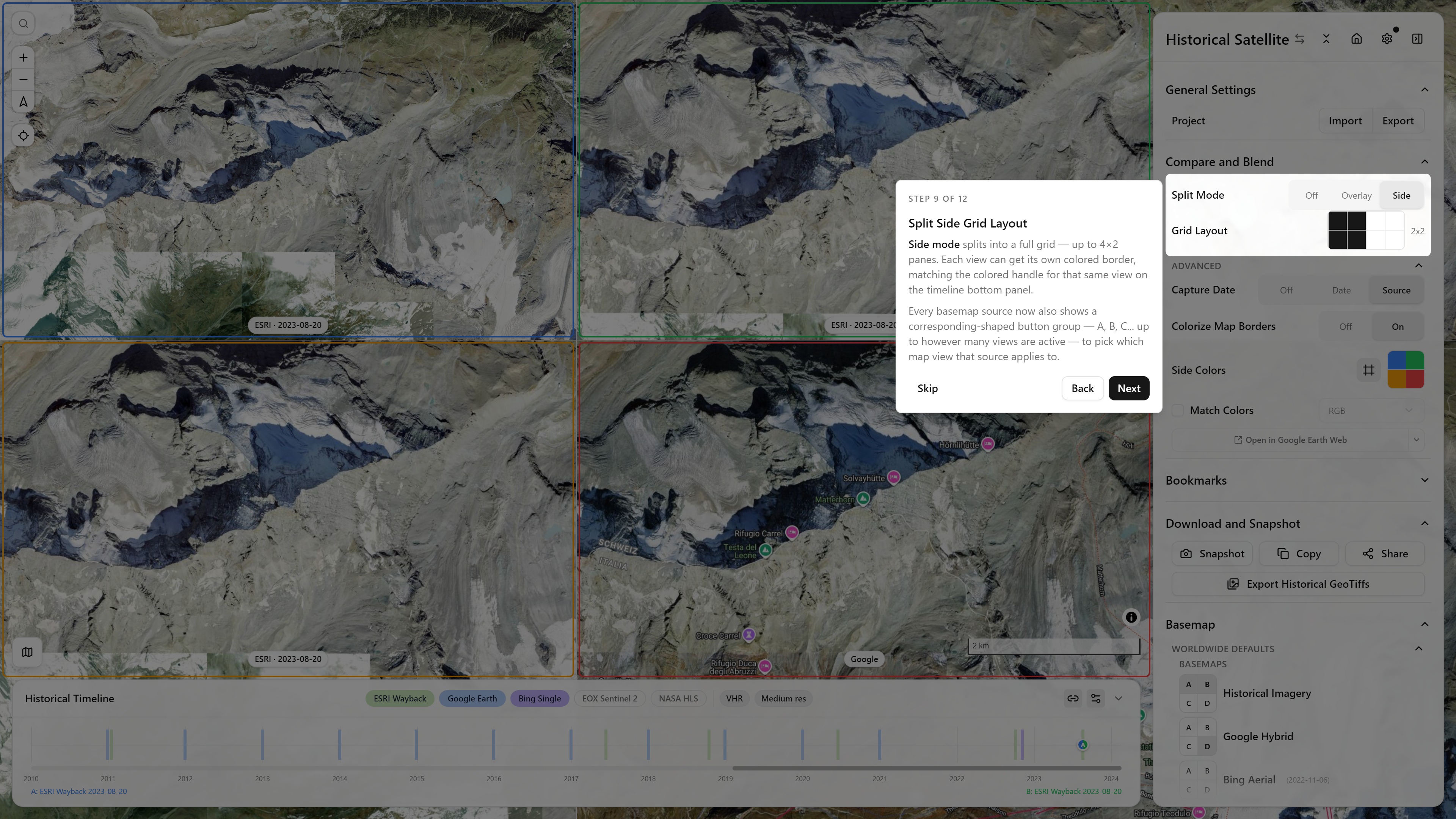
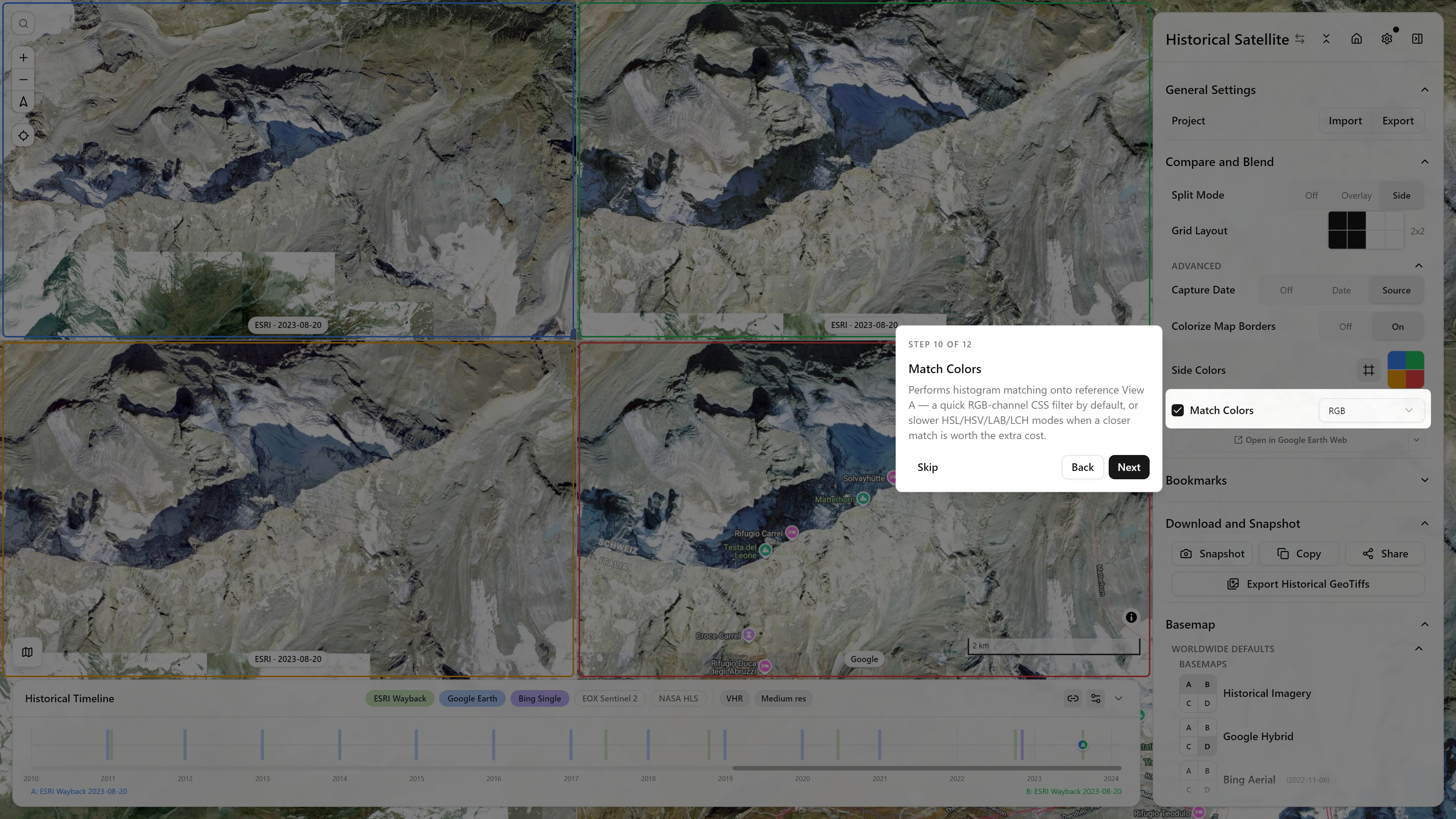
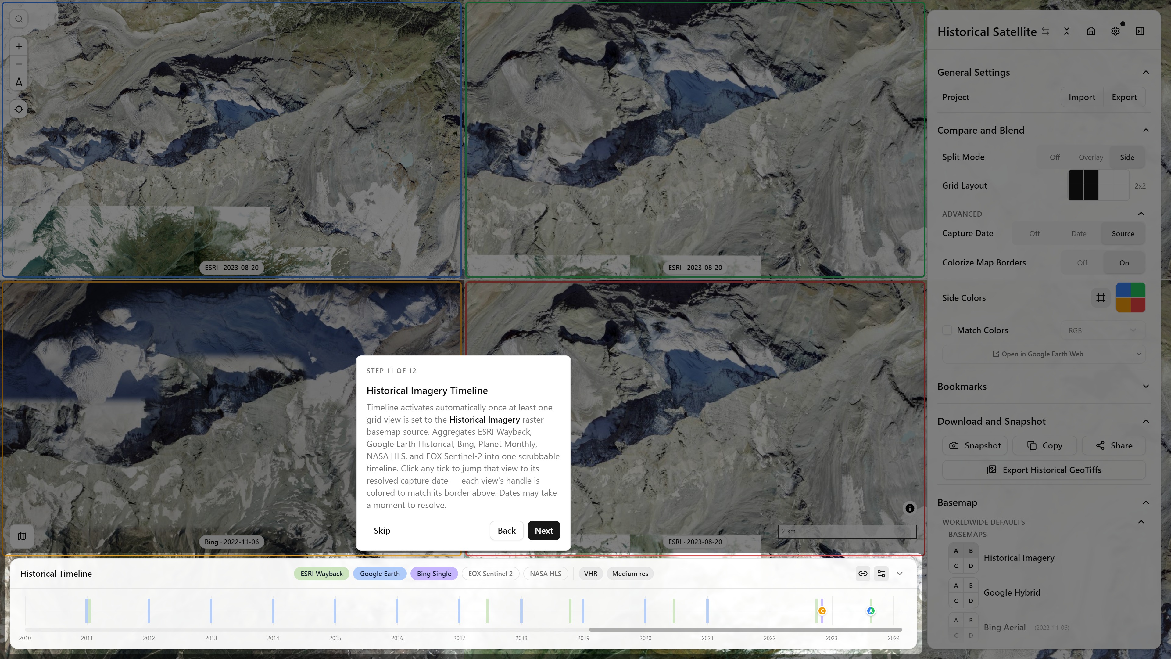
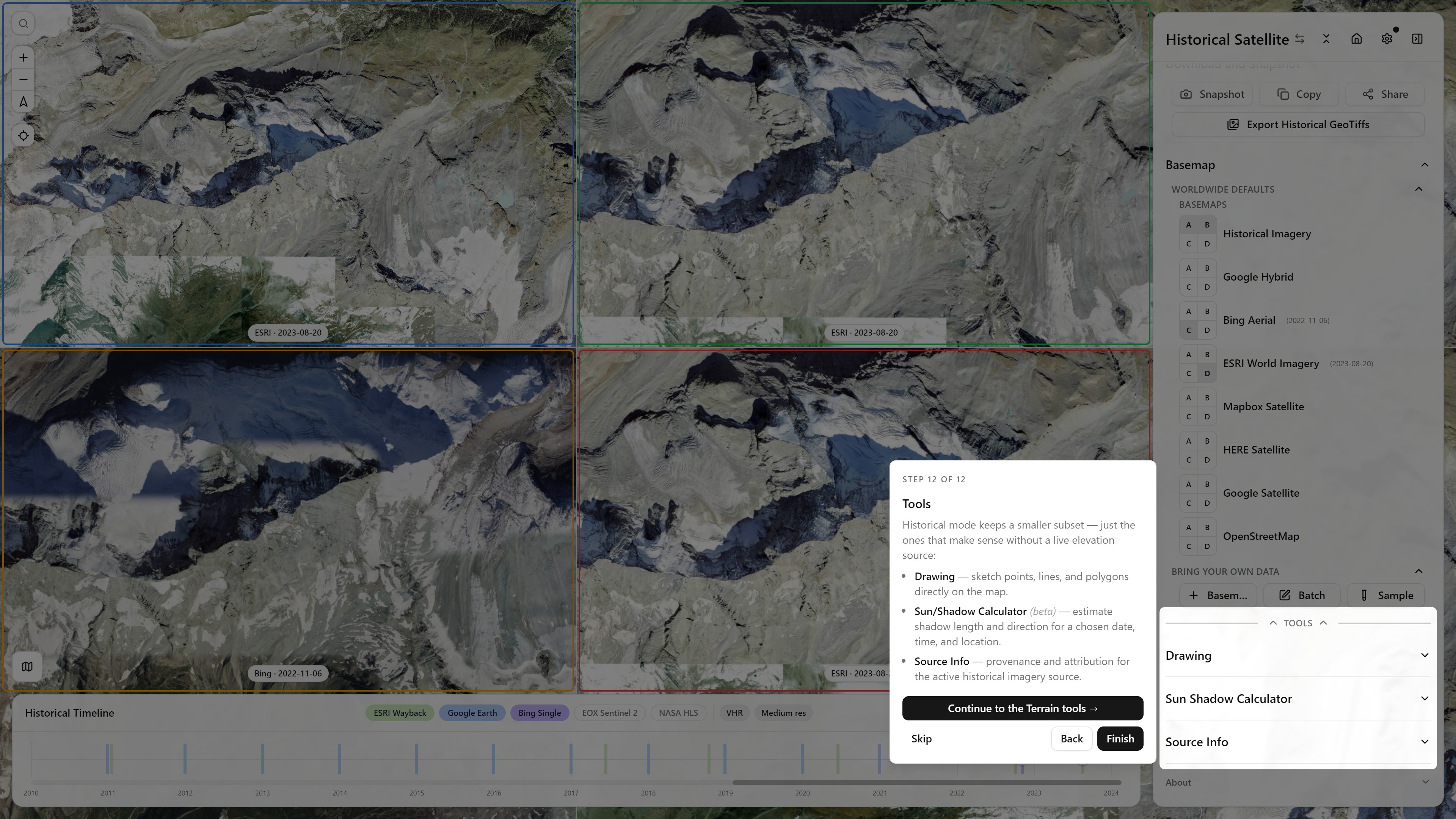
Step 7 of 12, Compare and Blend — Historical mode's split/grid/blend homeStep 8 of 12, Overlay Blend Modes — Multiply, Difference, ScreenStep 9 of 12, Split Side Grid Layout — up to 4x2 panes with colored bordersStep 10 of 12, Match Colors — histogram matching onto reference view AStep 11 of 12, Historical Imagery Timeline — ESRI Wayback, Google Earth Historical, Bing, Planet, NASA HLS, EOX Sentinel-2 in one scrubbable timelineStep 12 of 12, Tools — the Historical-branch wrap-up: Drawing, Sun/Shadow Calculator, Source Info